Much cooler weekend ahead
Temperatures will once again be our big weather headline this Wednesday afternoon with highs jumping into the low and mid 80s. When you factor in the humidity outside, at times, it could feel like upper 80s near 90. That heat and humidity may also trigger an isolated shower or thunderstorm. We will keep skies partly to mostly cloudy from start to finish. More widespread rain and thunderstorms are back by Thursday and especially Friday morning as a cold front pushes through. A much more comfortable weekend is expected with highs in the upper 60s along with lower humidity.
Top Videos
Much cooler weekend ahead

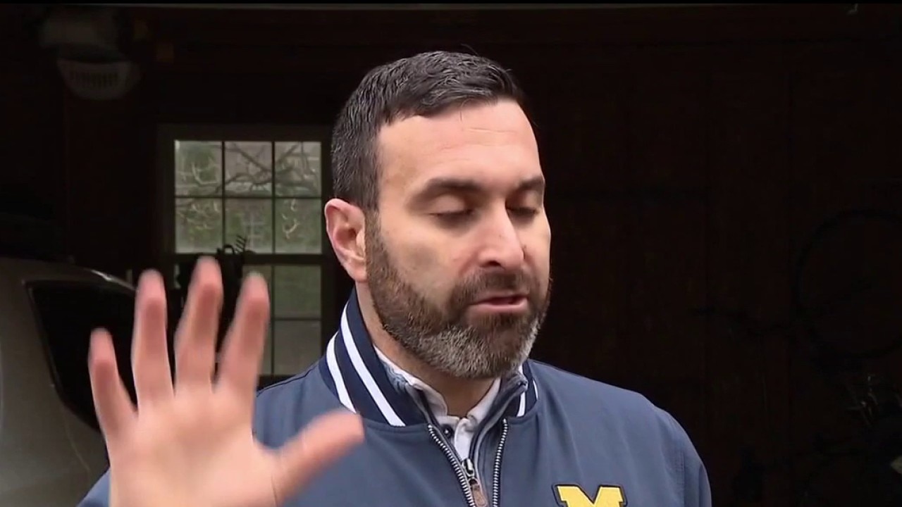
Two recall petitions against Oakland County Commission Chair approved

Oakland Hills' new clubhouse opens after devastating fire
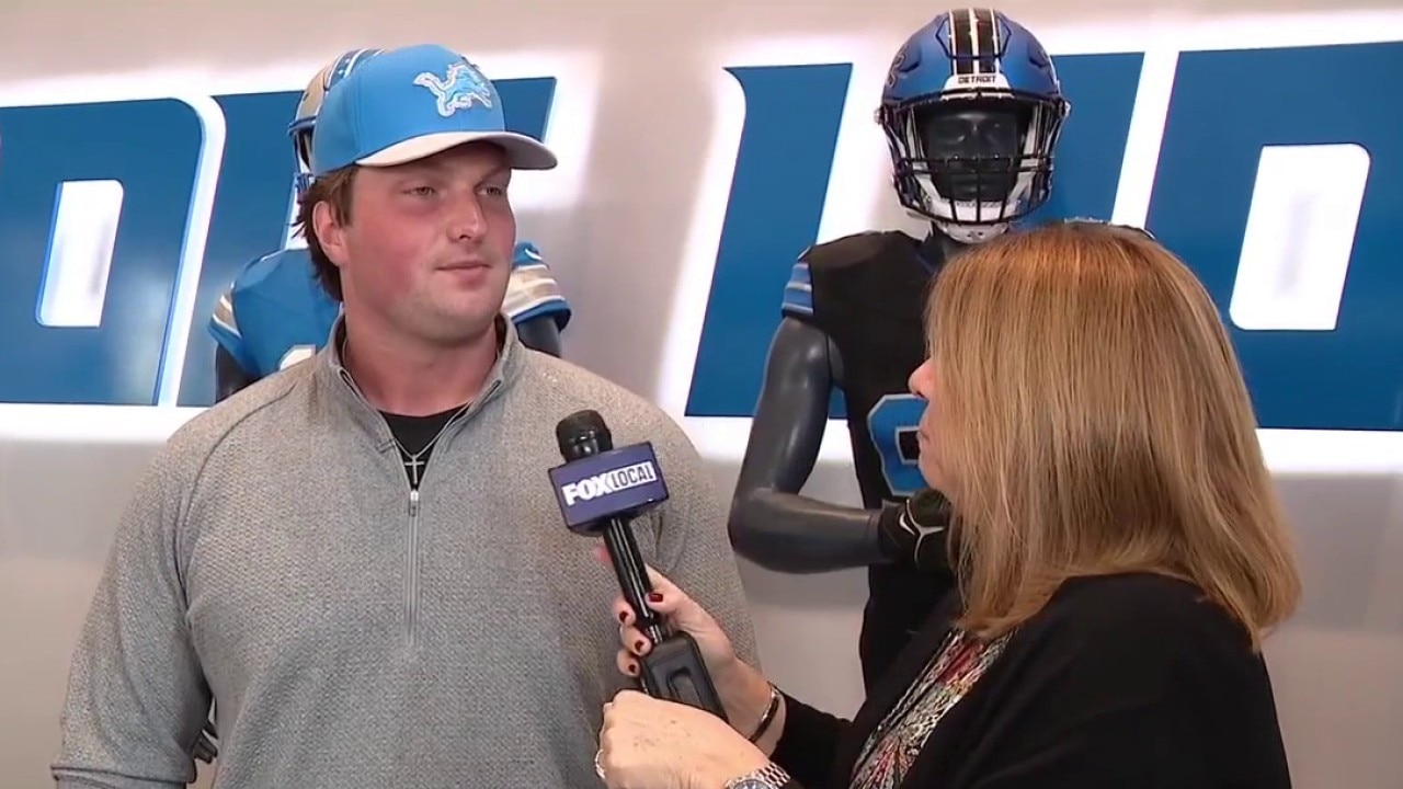
One on one with Lions first round pick Blake Miller

Mental health & wellness resource fair this weekend
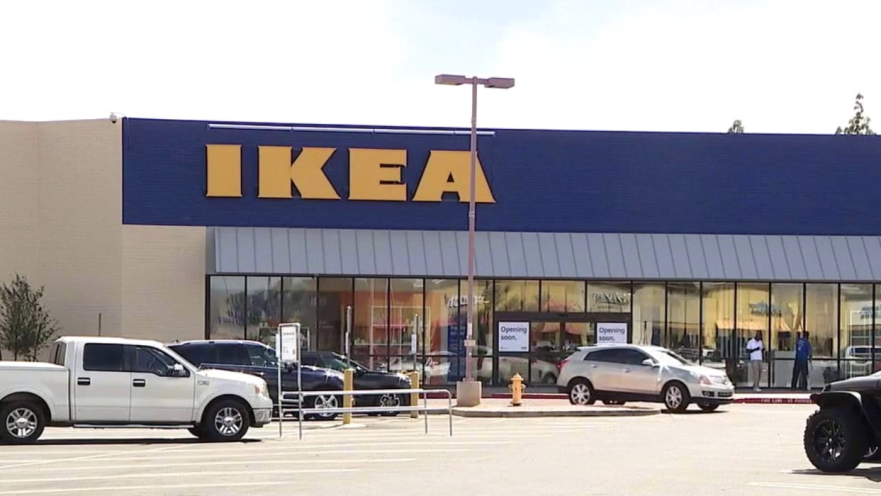
IKEA opening another Michigan store
15-year-old crashes stolen car into other driver and house

Mom accuses Warren daycare of restraining 5-year-old

Thrilla Gives Fight Night for charity is set for April 29th
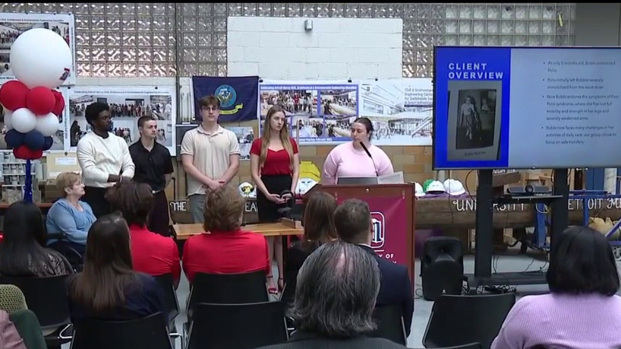
University of Detroit Mercy students design custom devices for the disabled
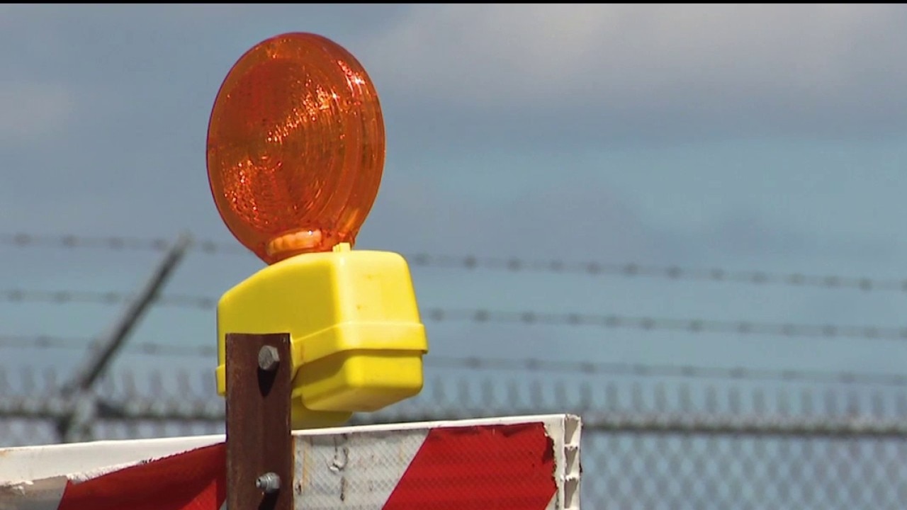
Drivers reminded to stay alert during ongoing construction
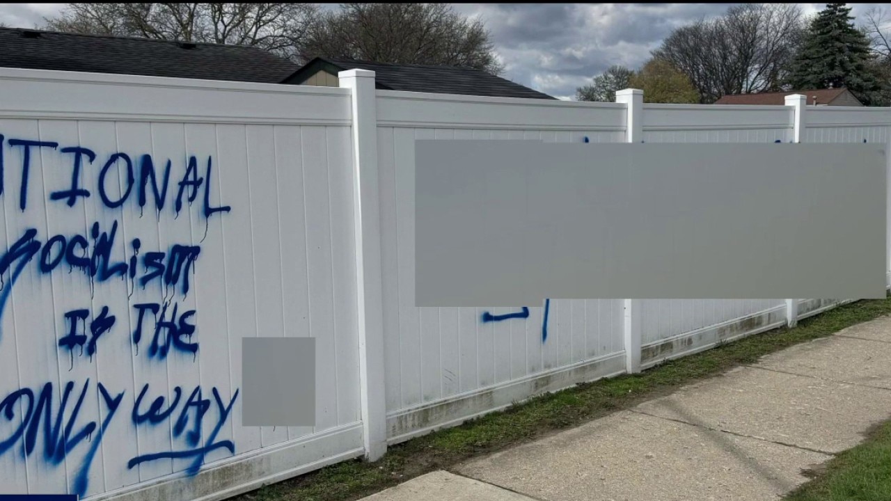
Two men arrested for allegedly vandalizing fence with hate speech

Mother disheartened after kids killed in gas station shooting

Macomb County officials urge drivers to stay alert for road construction season

Weed store manager: 420 is more than just getting high

Richard Mack & the chaos at the Michigan Democratic convention

Democratic Chair Jonathan Kinloch on Jordan Acker's downfall

Michigan Democrats pick their candidates

CARE House of Oakland County on crime victim awareness week

Trump says he's 'highly unlikely' to extend ceasefire
Discussing endorsement conventions

Trial begins for man accused in Melvindale police officer's murder

Nissan invests billions in US production; Tesla accelerates through train crossing and more | FASTLANE
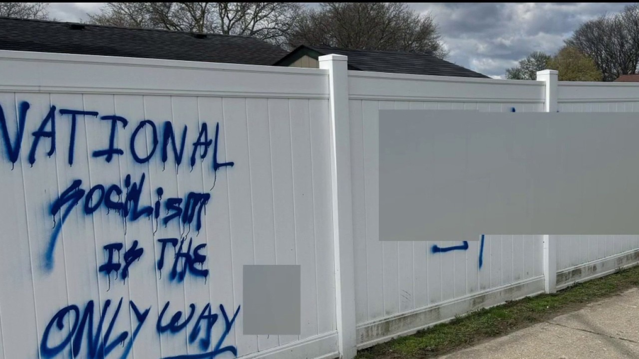
Two arrested in Sterling Heights after swastikas, bias-motivated graffiti found on fence, police say
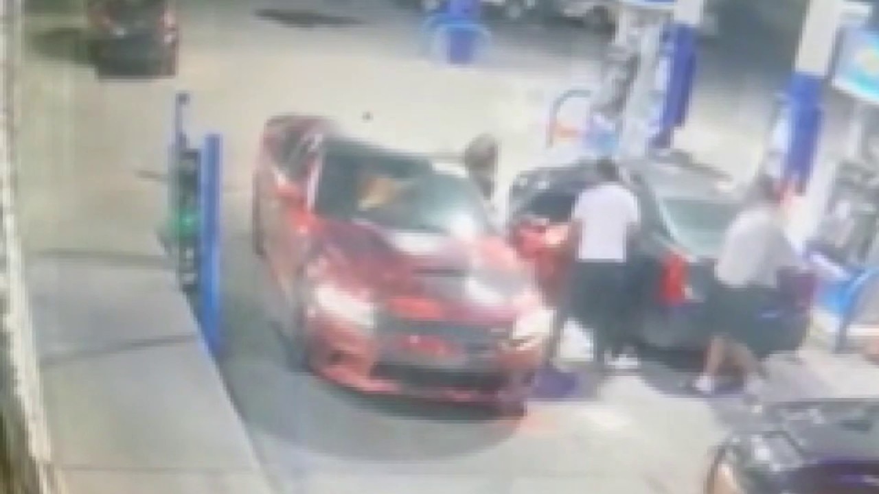
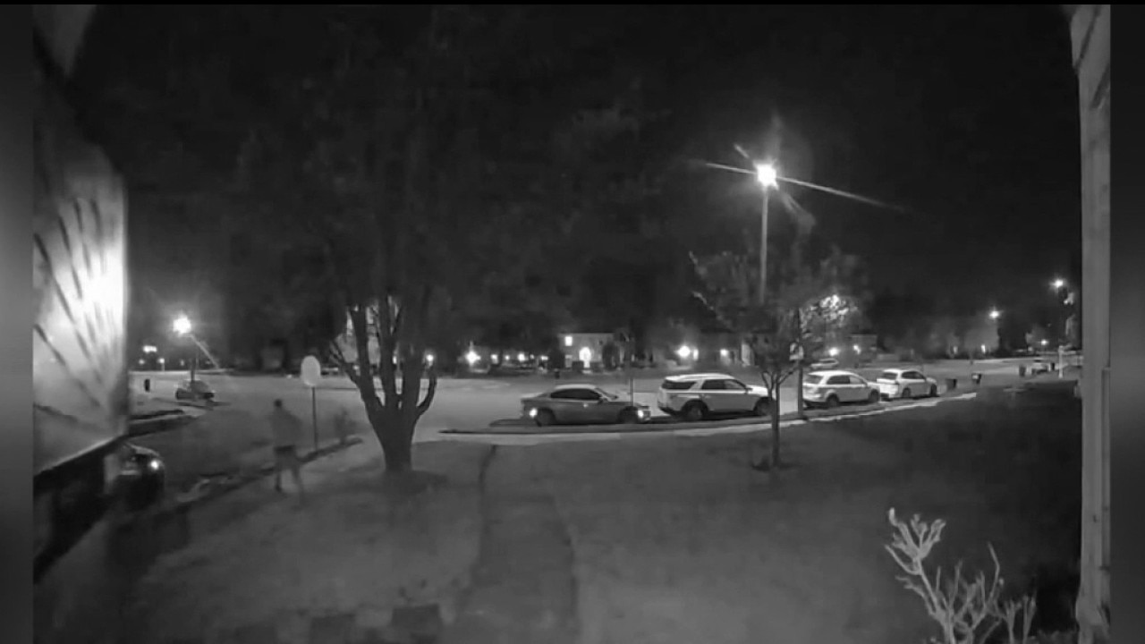
Three killed in shooting outside Detroit gas station following crash-related fight