

Metro Detroit weather: First snowflakes from lake effect, while temps get colder
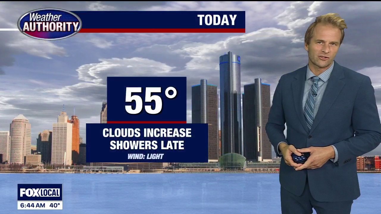
FOX 2 - The cold is coming, though we’ll still manage the 50s today.
Timeline:
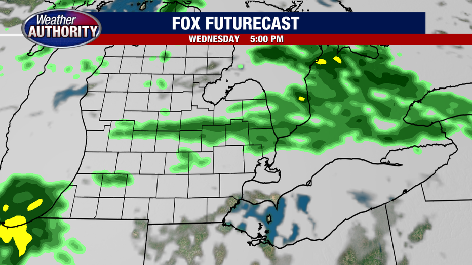
Clouds increase as light rain spreads in late this afternoon and evening, with our northern areas potentially catching a few showers a little sooner. Check out future radar.
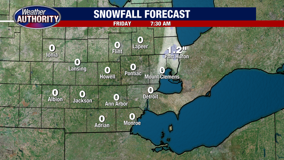
The wind whips up Thursday as scattered rain crosses the area. Lake effect bands develop Thursday evening, with wet snow increasingly mixing in, Thursday night into Friday.
Any accumulation will be limited mainly to the grass, with pockets around an inch possible just inland across parts of the Thumb, including St. Clair and Sanilac counties. Most see nothing, just melting flakes.
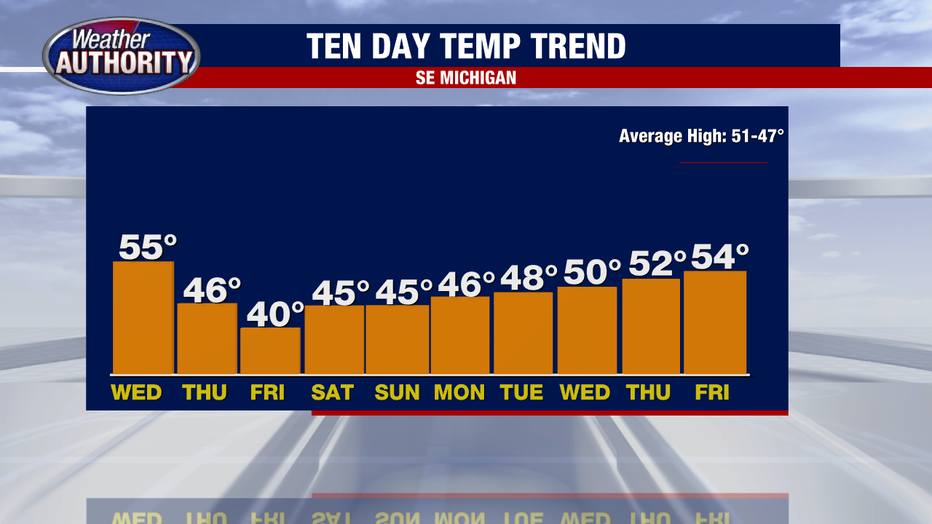
We shut down the rain for the weekend but the cold sticks around before temps gradually climb next week and make another run at the 50s by the weekend.
The Source: This forecast is from Weather Authority Alan Longstreet.