

Thursday forecast: Snow coming to an end
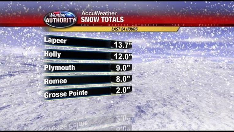
(WJBK) - Well, the snow is finally, slowly, coming to an end. By Thursday afternoon (say, after 1PM) we will see the majority of the snow move east and we will deal with mainly cloudy skies and just a few flurries. Let's recap some snowfall totals.
- Lapeer 13.7"
- Holly 12.0"
- Wixom 12.0"
- Grand Blanc 11.0"
- Midland 10.5"
- Ann Arbor 9.6"
- Plymouth 9.0"
- Northville 8.0"
- Romeo 8.0"
- West Bloomfield 6.0"
- Farmington Hills 6.0"
- Adrian 5.0"
- Port Austin 3.8"
- Tecumseh 3.5"
- Wyandotte 3.2"
- Richmond 3.0"
- Algonac 2.0"
- Roseville 1.5"
Heading into tonight, we will be cloudy, windy and colder, with an overnight low in the teens. The wind will be gusting to about 30 mph and the wind chill will be in single digits. The roads will likely ice over as the temps drop, so be very careful.
A warm up is expected this weekend.
For a list of snow emergencies, click here.
For a look at our live traffic map, click here. You can also get a view at the roads with our live drive cam, which you can watch here or in the video player below.
Tune in to FOX 2 News on the 2s for the latest weather and traffic check. You can also watch a livestream of our coverage at www.fox2detroit.com/live.