

Crisp and Cool Monday
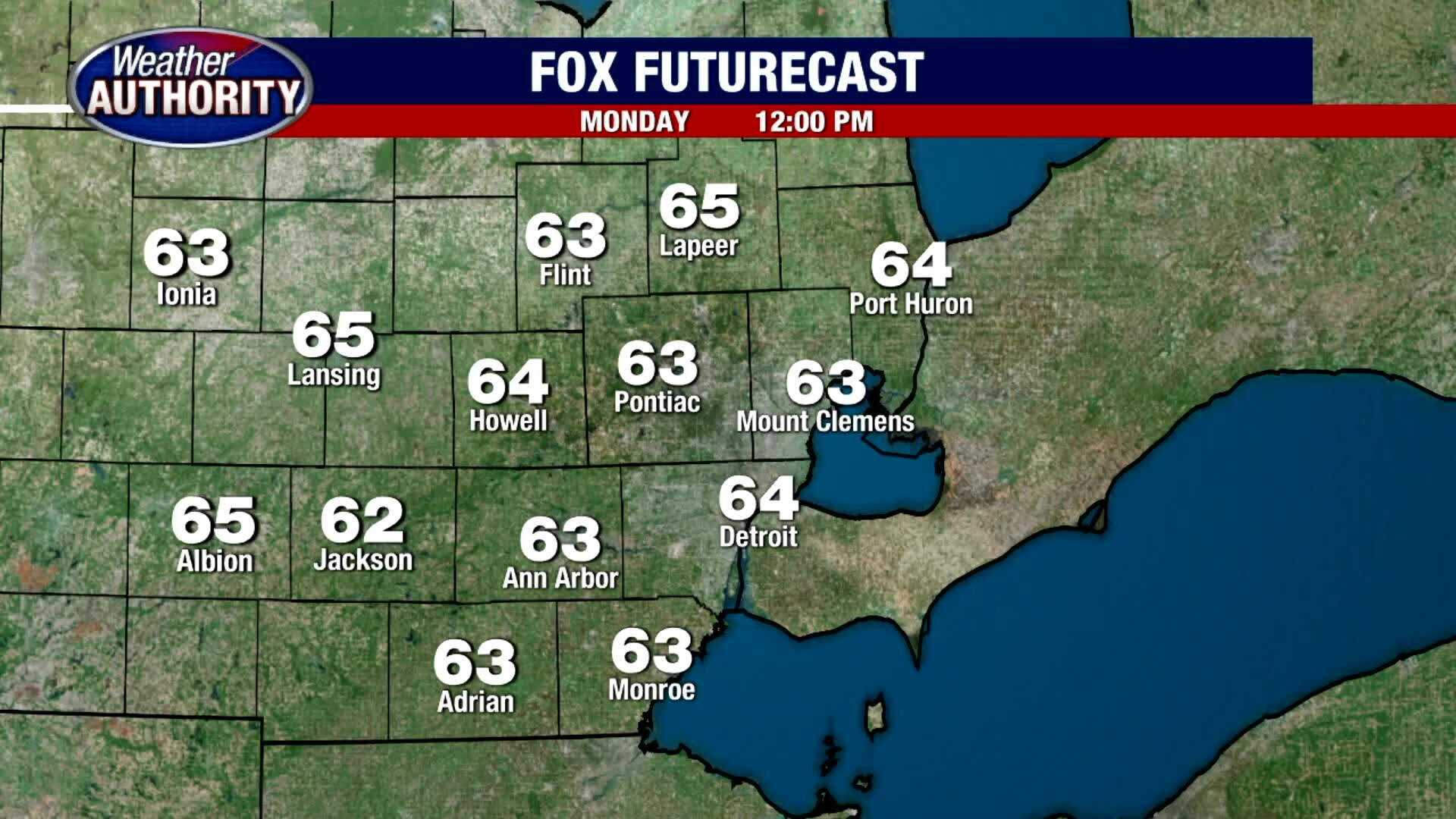
After a comfortably cool start this Monday morning, we are forecasting lots of sunshine and more mild air later this afternoon. Expect highs to eventually jump into the upper 60s to around 70 degrees later today under sunny skies. A little haziness may build in this evening compliments of the wildfires out west. Look for overnight lows to fall into the mid and upper 40s. Near 80 degree heat is back by midweek.
After a comfortably cool start this Monday morning, we are forecasting lots of sunshine and more mild air later this afternoon. Expect highs to eventually jump into the upper 60s to around 70 degrees later today under sunny skies. A little haziness may build in this evening compliments of the wildfires out west. Look for overnight lows to fall into the mid and upper 40s. Near 80 degree heat is back by midweek.

A warmer week on the way!
Closer to 80 midweek.
Closer to 80 midweek.

Meet Tasha!
FOX 2 News Weekend
FOX 2 News Weekend

Meet Nanook!
Meet Nanook!
Meet Nanook!

Meet Buckley!
FOX 2 News Weekend
FOX 2 News Weekend

DTE Expands Solar Parks in Michigan
FOX 2 News Weekend
FOX 2 News Weekend

Cool and Comfy Sunday
Frost Advisories are in place for some of our northern suburbs with temps this morning in the 30s and low 40s. That Frost Advisory will expire by 9am. Temperatures will then climb into the 60s by before topping out in the mid 60s this afternoon under sunny skies. We are expecting a mostly clear night with overnight lows in the upper 40s. Near 80 degree heat is back by the middle of the workweek.
Frost Advisories are in place for some of our northern suburbs with temps this morning in the 30s and low 40s. That Frost Advisory will expire by 9am. Temperatures will then climb into the 60s by before topping out in the mid 60s this afternoon under sunny skies. We are expecting a mostly clear night with overnight lows in the upper 40s. Near 80 degree heat is back by the middle of the workweek.

Patchy Frost Overnight
Meteorologist Lori Pinson has your forecast
Meteorologist Lori Pinson has your forecast

Cold and Frosty Start Saturday
It is a very cold and frosty start this Saturday morning with temperatures outside of the city in the 30s. Near freezing cold temperatures will eventually warm into the 50s by mid morning before topping out in the low 60s under mostly sunny skies. Thankfully, tonight does not look at cold with lows in the 40s. Saturday will be the coldest day of the next 7 with temperatures rising into the upper 70s by the middle of next week.
It is a very cold and frosty start this Saturday morning with temperatures outside of the city in the 30s. Near freezing cold temperatures will eventually warm into the 50s by mid morning before topping out in the low 60s under mostly sunny skies. Thankfully, tonight does not look at cold with lows in the 40s. Saturday will be the coldest day of the next 7 with temperatures rising into the upper 70s by the middle of next week.

Sunny and Cold Weekend Ahead
After a chilly start this morning, we are expecting temperatures only in the low 60s for highs this afternoon. Thankfully, it should come with plenty in the way of sunshine. It will be breezy as well with winds from the north between 10 to 20 mph. Rosh Hashanah begins at sunset tonight and if you plan to celebrate, expect temperatures to eventually bottom out in the mid and upper 30s to low 40s. Light frost could be an issue especially north and west of Metro Detroit. A midweek warm up is forecast by next week with highs back in the 70s.
After a chilly start this morning, we are expecting temperatures only in the low 60s for highs this afternoon. Thankfully, it should come with plenty in the way of sunshine. It will be breezy as well with winds from the north between 10 to 20 mph. Rosh Hashanah begins at sunset tonight and if you plan to celebrate, expect temperatures to eventually bottom out in the mid and upper 30s to low 40s. Light frost could be an issue especially north and west of Metro Detroit. A midweek warm up is forecast by next week with highs back in the 70s.

The cool down is here! Temps in the 40's and falling further tonight.
High temps in the 60's this weekend, rain free for a while.
High temps in the 60's this weekend, rain free for a while.


Rescuers reach people cut off by Hurricane Sally, hundreds of thousands still without power
Rivers swollen by Hurricane Sally threatened more misery for parts of the Florida Panhandle and Alabama on Thursday. Georgia and the Carolinas were also warned of flooding.
Rivers swollen by Hurricane Sally threatened more misery for parts of the Florida Panhandle and Alabama on Thursday. Georgia and the Carolinas were also warned of flooding.

Chilly Nights Ahead
Frost Advisories and Freeze Warnings have been issued for parts of Northern Michigan and the U.P. Temperatures are expected only in the 60s for highs today through early next week. Today looks good with a cool, hazy, smokey sunshine. Overnight lows will fall into the low 40s with outlying areas seeing temperatures plummet into the 30s by Saturday morning. Frost could be an issue to start this weekend. Fall is only 5 days away and it is certainly going to start feeling like it around Metro Detroit.
Frost Advisories and Freeze Warnings have been issued for parts of Northern Michigan and the U.P. Temperatures are expected only in the 60s for highs today through early next week. Today looks good with a cool, hazy, smokey sunshine. Overnight lows will fall into the low 40s with outlying areas seeing temperatures plummet into the 30s by Saturday morning. Frost could be an issue to start this weekend. Fall is only 5 days away and it is certainly going to start feeling like it around Metro Detroit.

The cool down is coming! Temps stay down through the weekend.
A rain free forecast for a while.
A rain free forecast for a while.


Sally unleashes flooding along Gulf Coast, hundreds rescued in Florida, Alabama
Hurricane Sally has lumbered ashore near Gulf Shores, Alabama, as a Category 2 storm, with top winds of 105 mph.
Hurricane Sally has lumbered ashore near Gulf Shores, Alabama, as a Category 2 storm, with top winds of 105 mph.


Huge chunk of Greenland’s ice cap breaks off, evidence of rapid climate change, scientists say
The glacier section that broke off is 42.3 square miles. The glacier is at the end of the Northeast Greenland Ice Stream, where it flows off the land and into the ocean.
The glacier section that broke off is 42.3 square miles. The glacier is at the end of the Northeast Greenland Ice Stream, where it flows off the land and into the ocean.
Hazy Sunshine and Warm Wednesday
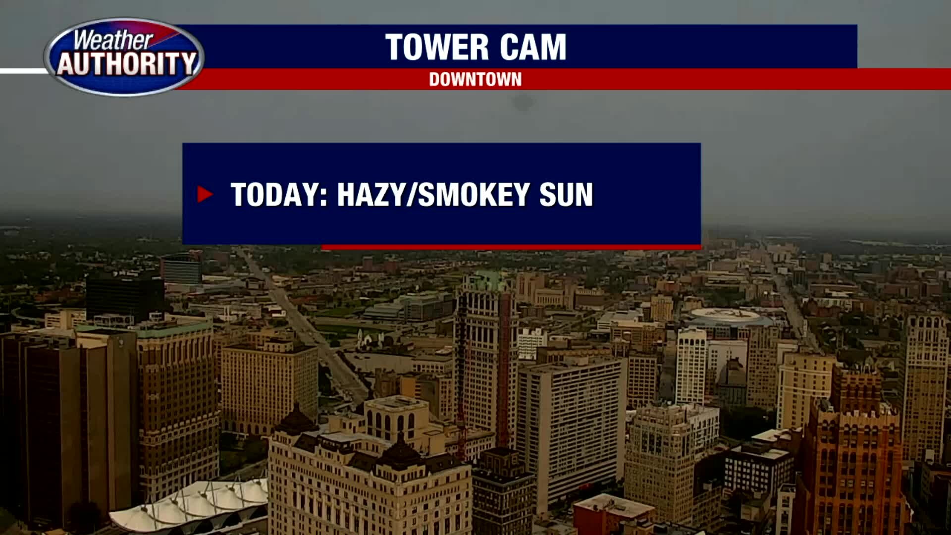
If you have noticed the red sunrises and sunsets lately, it is due to smoke from the wildfires on the west coast. That smoke and haze will hang around this afternoon limiting our sunshine. Highs temperatures are expected in the upper 70s to near 80 degrees. A cold front is forecast to move through southeast Michigan this evening after sunset bringing with it, a few showers. Rain should clear the area by daybreak Thursday morning with highs tomorrow noticeably cooler in the 60s.
If you have noticed the red sunrises and sunsets lately, it is due to smoke from the wildfires on the west coast. That smoke and haze will hang around this afternoon limiting our sunshine. Highs temperatures are expected in the upper 70s to near 80 degrees. A cold front is forecast to move through southeast Michigan this evening after sunset bringing with it, a few showers. Rain should clear the area by daybreak Thursday morning with highs tomorrow noticeably cooler in the 60s.

Wednesday warm up! A bit of rain is on the way tonight.
80 this afternoon, not again through the weekend.
80 this afternoon, not again through the weekend.


Drone footage shows hazardous smoke from US wildfires smothering Vancouver, British Columbia
The drone video, posted to Instagram, shows footage of Vancouver’s tall buildings and dense smoke in the area.
The drone video, posted to Instagram, shows footage of Vancouver’s tall buildings and dense smoke in the area.


'Huge rainmaker': Hurricane Sally threatens Gulf Coast with historic floods
Hurricane Sally is crawling toward the northern Gulf Coast at just 2 mph, a pace that's enabling the storm to gather huge amounts of water to eventually dump on land.
Hurricane Sally is crawling toward the northern Gulf Coast at just 2 mph, a pace that's enabling the storm to gather huge amounts of water to eventually dump on land.