


Stormy Overnight Ahead
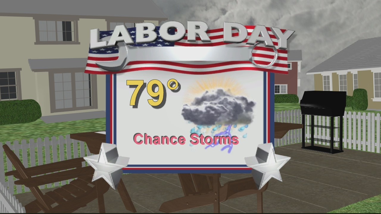
This morning and most of this afternoon look great under partly cloudy skies. Expect highs to jump into the mid 70s along with a breezy wind. Winds could gust up to 20 mph at times making things a little bumpy on some of our lakes and rivers. Scattered showers and thunderstorms are expected during the late evening, overnight and into early Monday morning. Thankfully, by daybreak Monday, most of the rain and storms should be east of Metro Detroit. In its wake, we will hang on to partly cloudy skies with just a few isolated rain chances through your Labor Day afternoon.
This morning and most of this afternoon look great under partly cloudy skies. Expect highs to jump into the mid 70s along with a breezy wind. Winds could gust up to 20 mph at times making things a little bumpy on some of our lakes and rivers. Scattered showers and thunderstorms are expected during the late evening, overnight and into early Monday morning. Thankfully, by daybreak Monday, most of the rain and storms should be east of Metro Detroit. In its wake, we will hang on to partly cloudy skies with just a few isolated rain chances through your Labor Day afternoon.
Rain Returning
Meteorologist Lori Pinson has your forecast
Meteorologist Lori Pinson has your forecast

Meet Buddy and Coco!
FOX 2 News Weekend
FOX 2 News Weekend

Meet Dave!
FOX 2 News Weekend
FOX 2 News Weekend

Meet Pepe and Rizzo
FOX 2 News Weekend
FOX 2 News Weekend

Labor Day Weekend Rain Chances
Hang on to an umbrella if you plan on being out and about through your Labor Day weekend. A few rain chances will be in play around Metro Detroit on Saturday, Sunday and Monday. Weekend temperatures should take it in the mid 70s after a few cool mornings. With the soon to be changing of the seasons, we have an unsettled weather pattern setting up through the next workweek as well.
Hang on to an umbrella if you plan on being out and about through your Labor Day weekend. A few rain chances will be in play around Metro Detroit on Saturday, Sunday and Monday. Weekend temperatures should take it in the mid 70s after a few cool mornings. With the soon to be changing of the seasons, we have an unsettled weather pattern setting up through the next workweek as well.

Some weekend showers
But not enough to cancel any plans!
But not enough to cancel any plans!
Labor Day Weekend Forecast
If you are hitting the road and heading up north on Friday, the weather looks great all throughout the state of Michigan. Expect lots of sunshine along with temperatures in the 70s to wrap up the week. Saturday morning should feature more clouds and a few passing showers from time to time in Metro Detroit. We will hang on to partly cloudy skies during the afternoon with temps in the 70s. Most of Sunday looks good, but a few rain chances will creep back into our region by Sunday evening. Have your umbrella on stand by on Monday because scattered rain is possible on Labor Day.
If you are hitting the road and heading up north on Friday, the weather looks great all throughout the state of Michigan. Expect lots of sunshine along with temperatures in the 70s to wrap up the week. Saturday morning should feature more clouds and a few passing showers from time to time in Metro Detroit. We will hang on to partly cloudy skies during the afternoon with temps in the 70s. Most of Sunday looks good, but a few rain chances will creep back into our region by Sunday evening. Have your umbrella on stand by on Monday because scattered rain is possible on Labor Day.

Turning cooler Friday, some rain returns over the weekend.
Cooler, breezy and mostly sunny Friday.
Cooler, breezy and mostly sunny Friday.

Cooler temps come Friday
Rich Luterman has the forecast.
Rich Luterman has the forecast.

Warm Thursday with a late day shower or storm possible.
Going cooler Friday with a mainly dry weekend on the way.
Going cooler Friday with a mainly dry weekend on the way.

Warm for Thursday before coming cool down
Rich Luterman has the forecast.
Rich Luterman has the forecast.
Wednesday morning showers
But the afternoon and evening will be drier
But the afternoon and evening will be drier

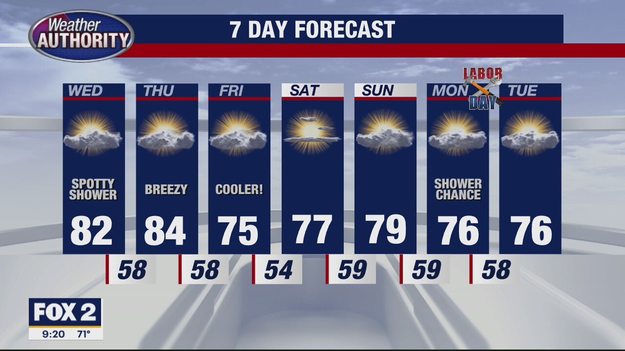
Spotty Wednesday shower, temps remain in the 80's for a couple.
Muggy start with a less humid feel for today's finish.
Muggy start with a less humid feel for today's finish.


Climate change may make extreme hurricane rainfall 5 times more likely in the Caribbean, study suggests
Researchers at the University of Bristol analyzed future projections of hurricane rainfall in the Caribbean and found that climate change could result in extreme hurricane events being as high as five times more likely.
Researchers at the University of Bristol analyzed future projections of hurricane rainfall in the Caribbean and found that climate change could result in extreme hurricane events being as high as five times more likely.

Warm trend continues for mid-week
Rich Luterman has the forecast.
Rich Luterman has the forecast.

Warm autumn ahead: Scientists predict above-average temperatures this fall across entire US
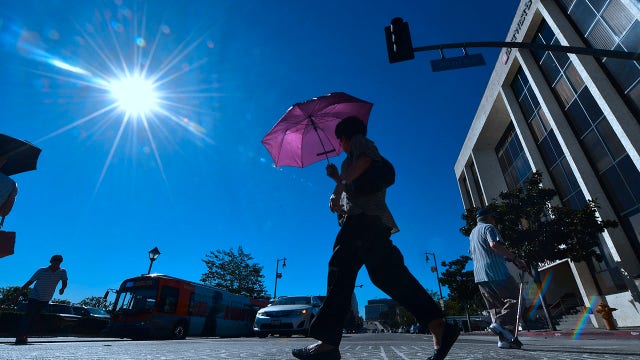
Summer was unseasonably hot in many areas of the country, with several cities breaking summer temperature records, and it doesn’t appear that the heat is going to let up anytime soon.
Summer was unseasonably hot in many areas of the country, with several cities breaking summer temperature records, and it doesn’t appear that the heat is going to let up anytime soon.

Some spotty showers/storms today
They'll begin in the late afternoon
They'll begin in the late afternoon

Plan for some late day wet weather Tuesday as temps move back into the 80's.
80's through Thursday with a late week cool down to come!
80's through Thursday with a late week cool down to come!
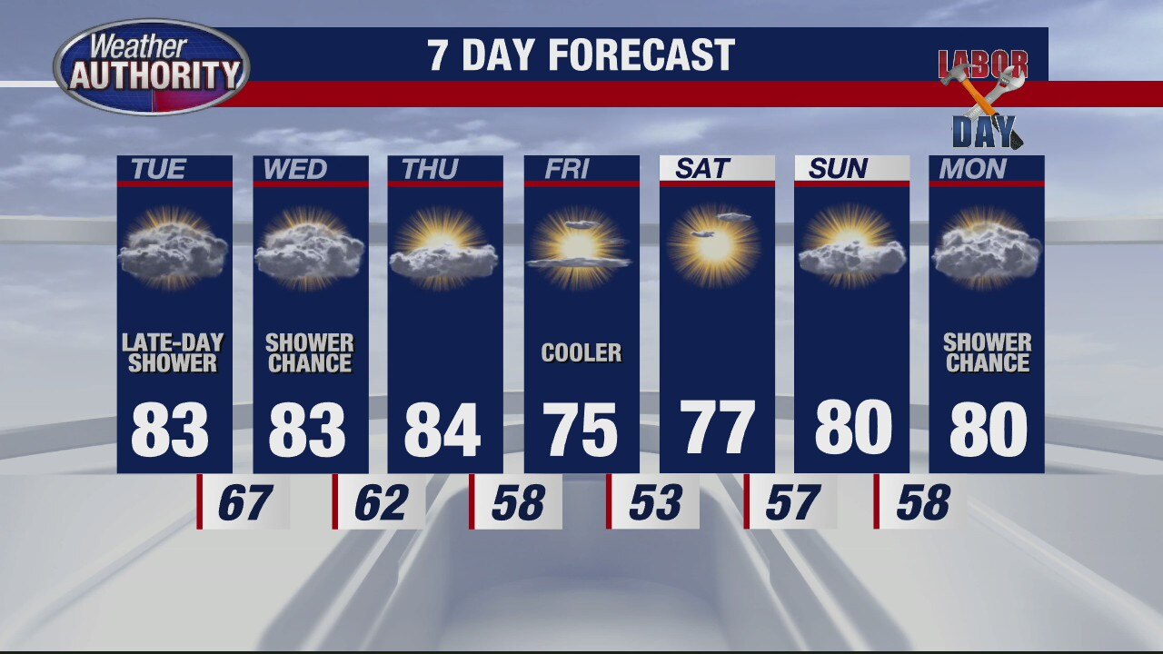
Warm temps last most of week
Rich Luterman has the forecast.
Rich Luterman has the forecast.