


Hot weather on its way back
We climb to nearly 90 by Friday and will keep it through next week.
We climb to nearly 90 by Friday and will keep it through next week.

Weekend Warm Up
Enjoy the refreshingly cool weather Wednesday with highs in the upper 70s along with a light northerly breeze. This will lead to a very nice evening with lows falling into the upper 50s. Though we're a little warmer on Thursday, a big time warming trend is on the way this weekend with temperatures rocketing into the mid and upper 90s. We need to keep a close eye on next week. A few of our forecast models are indicating that a few 90s could pop up next week.
Enjoy the refreshingly cool weather Wednesday with highs in the upper 70s along with a light northerly breeze. This will lead to a very nice evening with lows falling into the upper 50s. Though we're a little warmer on Thursday, a big time warming trend is on the way this weekend with temperatures rocketing into the mid and upper 90s. We need to keep a close eye on next week. A few of our forecast models are indicating that a few 90s could pop up next week.

Another perfect weather day on the way with a return of the summer heat for the weekend.
Not much rain coming our way either.
Not much rain coming our way either.

Tuesday Evening Forecast
A few nice days then the heat does return
A few nice days then the heat does return
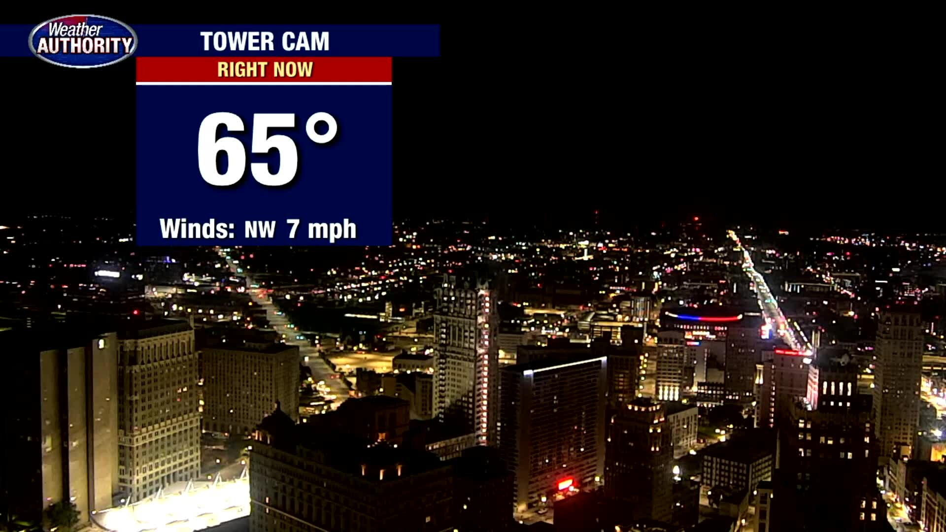
Rain free for a few, temps drop too!
Warm afternoons and cooler nights are on the way!
Warm afternoons and cooler nights are on the way!
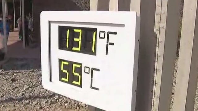

Meteorologists working to confirm 130-degree Death Valley temp
An automated measuring system in California’s Death Valley reported a temperature of 130 degrees (54.4 degrees Celsius) amid a blistering heat wave on Sunday, a reading that would be among the highest ever recorded globally if it is confirmed.
An automated measuring system in California’s Death Valley reported a temperature of 130 degrees (54.4 degrees Celsius) amid a blistering heat wave on Sunday, a reading that would be among the highest ever recorded globally if it is confirmed.

Dry few days ahead
And very comfortable temperatures!
And very comfortable temperatures!
Cooler Air on the Way
After a wet go of things on Sunday, we will hold on to just a few extra clouds today with highs back in the low 80s with lower humidity. Though a stray shower is possible, most areas should stay dry. With high pressure rolling into town Tuesday and Wednesday, not only will we dry things out, but we will also cool things down with highs only in the 70s. Enjoy it while it lasts because by the end of the workweek, we will jump back into the 80s.
After a wet go of things on Sunday, we will hold on to just a few extra clouds today with highs back in the low 80s with lower humidity. Though a stray shower is possible, most areas should stay dry. With high pressure rolling into town Tuesday and Wednesday, not only will we dry things out, but we will also cool things down with highs only in the 70s. Enjoy it while it lasts because by the end of the workweek, we will jump back into the 80s.
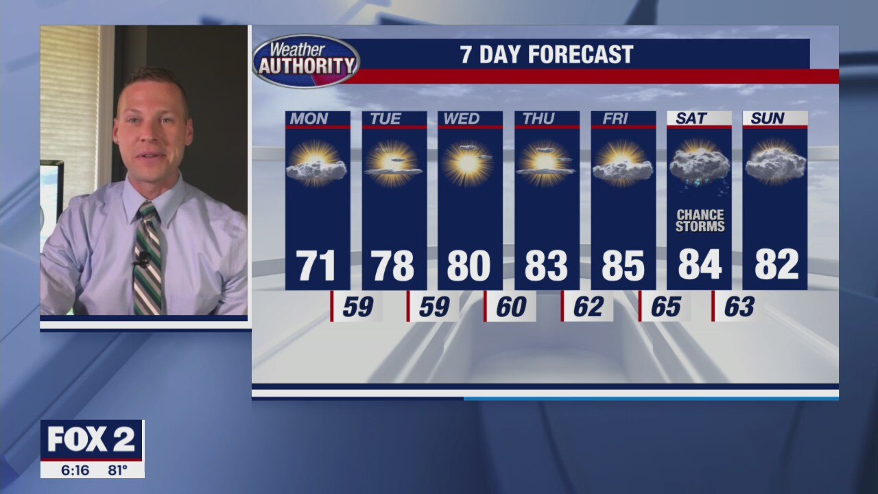
Dry, quiet and nice stretch ahead
Temperatures return to the low 80s and the humidity is gone.
Temperatures return to the low 80s and the humidity is gone.
Sunday Showers and Storms
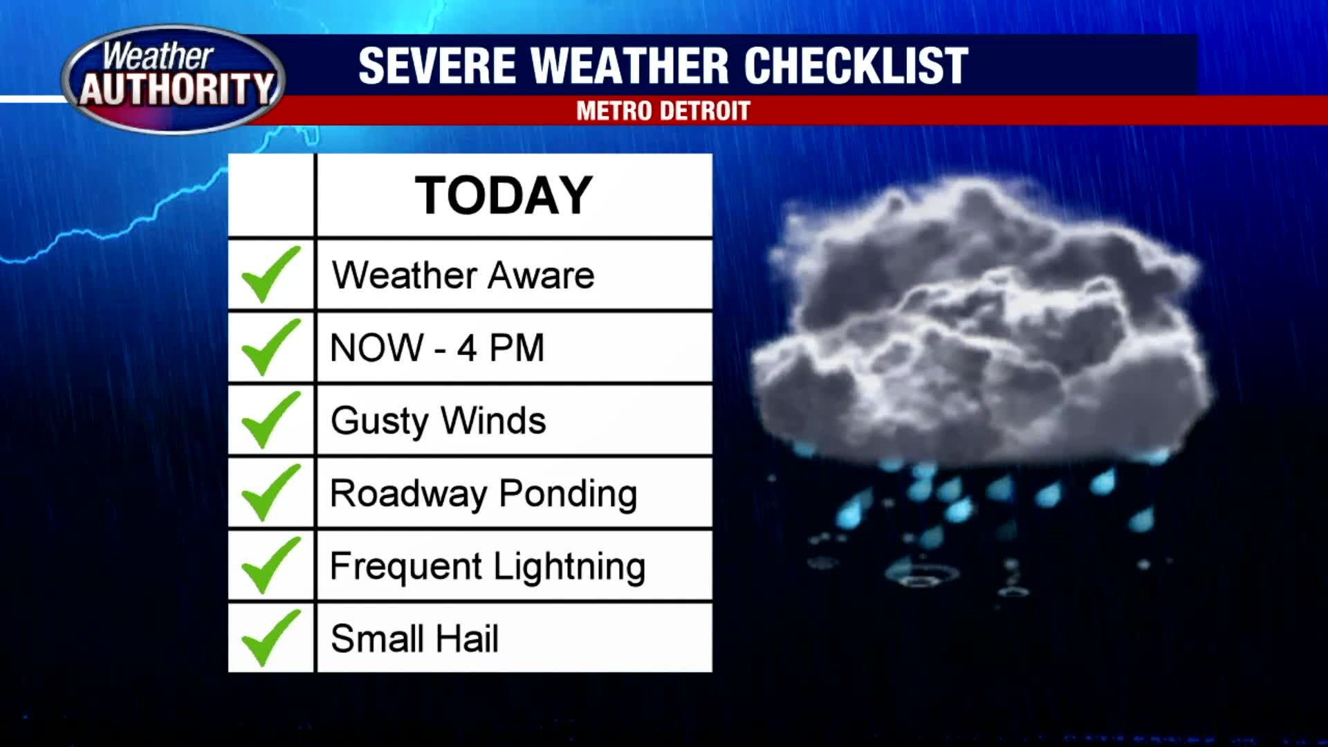
Scattered rain and thunderstorms are expected on Sunday. Heavy rain, frequent lightning, gusty winds and localized flooding is possible in the strongest of the storms. Have your umbrella ready to go if you plan on being out and about. Most of the storms should pass by this evening with skies becoming partly cloudy late. Highs should top out in the low 80s. Cooler air is on the way by midweek.
Scattered rain and thunderstorms are expected on Sunday. Heavy rain, frequent lightning, gusty winds and localized flooding is possible in the strongest of the storms. Have your umbrella ready to go if you plan on being out and about. Most of the storms should pass by this evening with skies becoming partly cloudy late. Highs should top out in the low 80s. Cooler air is on the way by midweek.

Storms For Sunday
Meteorologist Lori Pinson has your forecast
Meteorologist Lori Pinson has your forecast

Stray Storms Saturday
Hang on to an umbrella just to be on the safe side today. A few morning showers may lead to a few after storms as highs jump into the upper 80s. A cold front moving through may trigger additional showers and storms Sunday morning with cooler air behind the front. Highs on Sunday are forecast in the low 80s. 70s are back by next week.
Hang on to an umbrella just to be on the safe side today. A few morning showers may lead to a few after storms as highs jump into the upper 80s. A cold front moving through may trigger additional showers and storms Sunday morning with cooler air behind the front. Highs on Sunday are forecast in the low 80s. 70s are back by next week.
More spotty storms this weekend
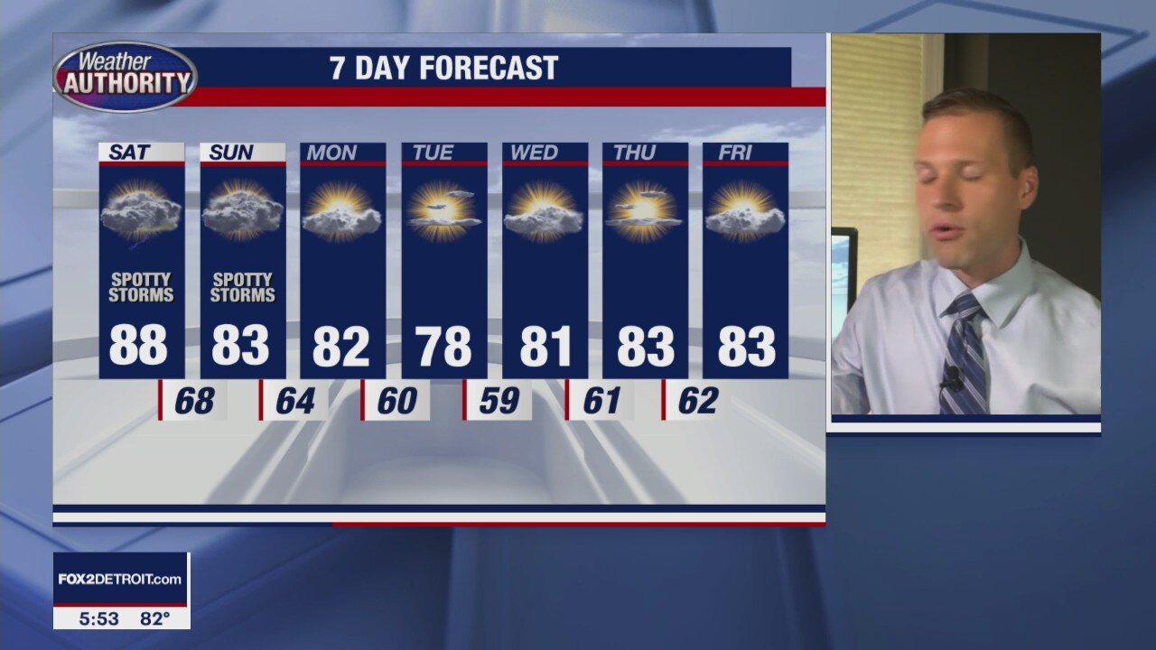
After some action on Friday afternoon and evening we are likely to see more this weekend
After some action on Friday afternoon and evening we are likely to see more this weekend

Warm and Muggy Friday
The warm and more muggy air is back with us today as temperatures soar into the mid and upper 80s this afternoon. Given the additional humidity today along with a surface trough moving in from the southeast, a spotty shower is possible this afternoon. With the approach of a cold front on Saturday, better chances exist for rain and a few rumbles late Saturday and especially on Sunday.
The warm and more muggy air is back with us today as temperatures soar into the mid and upper 80s this afternoon. Given the additional humidity today along with a surface trough moving in from the southeast, a spotty shower is possible this afternoon. With the approach of a cold front on Saturday, better chances exist for rain and a few rumbles late Saturday and especially on Sunday.

Partly cloudy and warm again on Friday
Rich Luterman has the forecast.
Rich Luterman has the forecast.

Hot couple of days ahead
Then a slight cool down as we move into the weekend
Then a slight cool down as we move into the weekend

Mostly Sunny and Warm Thursday
Enjoy the warmth and sunshine today because the start of fall is only 40 days away. We are warm and dry on your Thursday with highs in the upper 80s nearing 90 degrees. Though we are warm through Saturday, Sunday will feature our best shot for showers and thunderstorms with cooler air moving in next week.
Enjoy the warmth and sunshine today because the start of fall is only 40 days away. We are warm and dry on your Thursday with highs in the upper 80s nearing 90 degrees. Though we are warm through Saturday, Sunday will feature our best shot for showers and thunderstorms with cooler air moving in next week.

The Heat is ON this Week
If you enjoy the heat, you are going to love everything about today and the rest of this week. Expect temperatures to jump into the mid and upper 80s today under partly to mostly sunny skies. We should keep things rain-free today, tonight and through the week. Our next best shot for showers is on Sunday and into early Monday.
If you enjoy the heat, you are going to love everything about today and the rest of this week. Expect temperatures to jump into the mid and upper 80s today under partly to mostly sunny skies. We should keep things rain-free today, tonight and through the week. Our next best shot for showers is on Sunday and into early Monday.

A cool start, warm finish to your Wednesday. Weekend rain chances return.
We're dry through the week and we'll likely stay that way through Saturday.
We're dry through the week and we'll likely stay that way through Saturday.

A hot week continues
But humidity levels remain lower
But humidity levels remain lower