

Severe thunderstorms in Southeast Michigan: Strong winds, hail, tornado all possible

Warmer, Chance Storms
Near record warmth sets the stage for potentially strong storms today. Meteorologist Lori Pinson has your forecast.
DETROIT (FOX 2) - Tuesday starts mild and will feel like spring, but with that spring-like feel comes the potential for severe weather.
Some spotty showers and thunderstorms are possible in the morning, but that chance fades heading into the afternoon. The risk for severe weather picks up around 8 p.m. until 4 a.m. Wednesday, with the greatest chance for storms moving in around midnight.
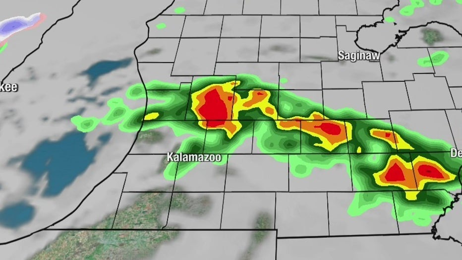
Severe thunderstorms will move across Michigan overnight into Wednesday
All of Southeast Michigan falls into the slight risk area. Overnight thunderstorms could bring large hail up to an inch, damaging winds, and even an isolated tornado. A cold front moving in could result in some snow showers, too.
Aside from the storms, Tuesday will have near-record temperatures. Temperatures will be in the mid to upper 60s, potentially beating the 1976 record high of 63.
Temperatures fall rapidly after Wednesday, with highs in only the 30s Thursday.