

Metro Detroit Weather: Stray storm possible Friday, warm weekend ahead
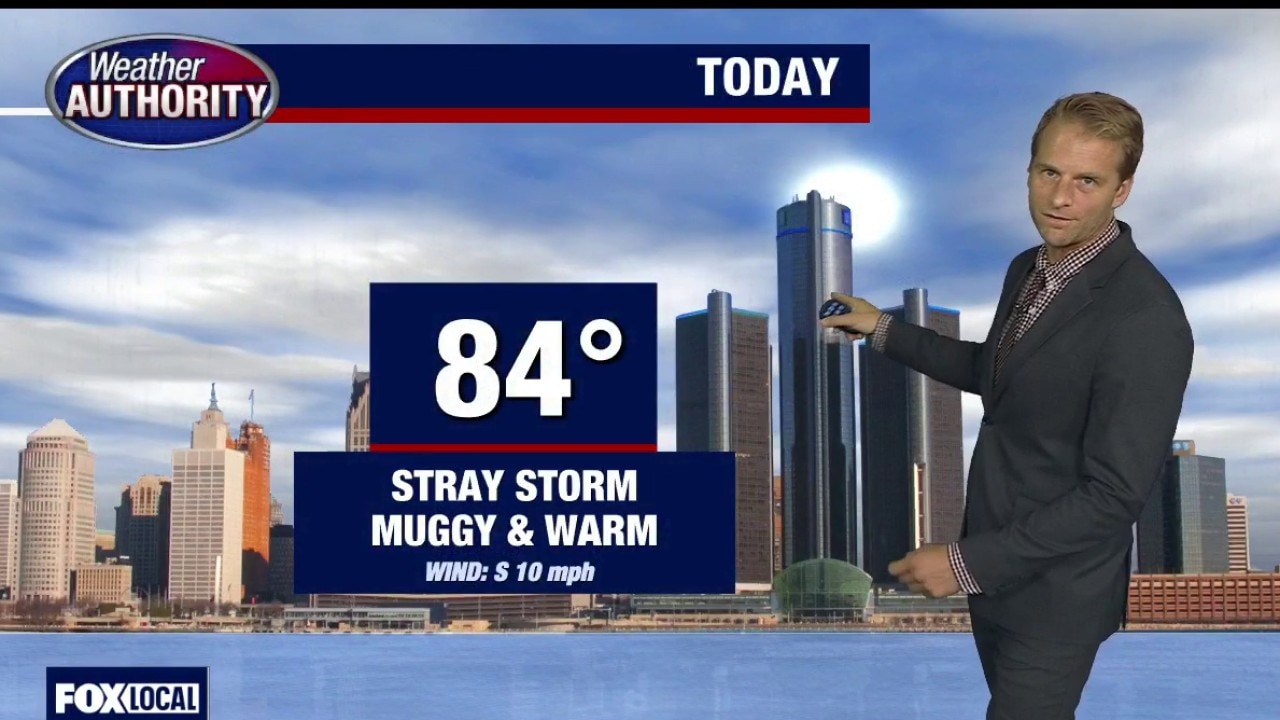
FOX 2 - This Friday we are waking up to another start with the clouds and little fog out there.
Big picture view:
For most of us, it's not dense at all. However you go along I-69 north and you look south you can see those numbers dropping.
Now the sun is up, so we will shift away from that but certainly kind of gray gloomy start to the day.
The widespread rain that's off to the east some heavy stuff there as well down to the south.
We have had some mist, and we've had a spotty shower, but that is it.
This afternoon a stray storm is certainly going to be possible, but most of the day winds up dry.
Friday night, that low level chance continues to attract storm that will be out there.
Certainly we are capable of some heavy rain.
Saturday is a similar story as a cold front is going to come through.

A stray storm could be isolated on Sunday.
By the evening there is another opportunity.
Then Monday offers the better potential for more widespread wet weather.
The pattern's gonna shift a little bit. We keep the heat, we crank up the humidity, and there may be some severe weather as well, at least the potential for that.
Here's Sunday's severe outlook, and you'll see that corridor that's back to the west.
This is from the Storm Prediction Center. We don't have the outlook out for Monday, but I imagine that will shift in our direction when it does.
Eighty-four is your high tempo today. We're down to 70 overnight.
We'll keep those temps pretty steady through Monday, but do fade those out though next week.
The Source: This report is from Weather Authority Alan Longstreet.