

Extreme heat warning continues Thursday, storm chance begins
Heat persists Thursday, storm potential begins
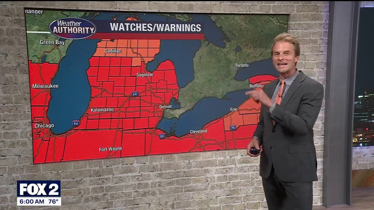
FOX 2’s Alan Longstreet has Thursday’s forecast amid the ongoing Extreme Heat Warning in southeast Michigan.
The heat keeps coming.
By the numbers:
Another Extreme Heat Warning is in effect as afternoon temps climb into the 90s and the heat index at 105.
The heat will gradually ease over the next couple of days, but I wouldn’t call it cool heading into the Fourth of July.

Thursday storm chance
I’m not expecting widespread storms with high pressure anchored to our south, although an isolated storm could pop up this afternoon.
Check out future radar this evening and notice that more of us stay dry than see any rain. That said, any storm that does develop could produce a few gusty winds.

Looking ahead
We’ll settle back into the 80s by Sunday and keep that summer feel into next week.
Storm chances will come and go over the holiday weekend, not enough to wash it out, but enough that you’ll want to keep an eye on the radar before making outdoor plans.

Extreme heat warning
Dig deeper:
An Extreme Heat Warning is issued when extremely dangerous heat conditions are expected or occurring, according to the National Weather Service.
What you can do:
Avoid outdoor activities, especially during the heat of the day. If you must be outside, be sure to drink plenty of water and take frequent breaks in the shade. Stay indoors in an air-conditioned space as much as possible, including overnight. Check on family and neighbors.
The Source: Information in this article was taken from FOX 2 Meteorologist Alan Longstreet and the National Weather Service.