


Mild Monday with a cold week on the way.
Accumulating snow is possible Tuesday night & Wednesday!
Accumulating snow is possible Tuesday night & Wednesday!

Snow in April
A cold front drops temperatures Monday setting the stage for snow. Meteorologist Lori Pinson has your forecast
A cold front drops temperatures Monday setting the stage for snow. Meteorologist Lori Pinson has your forecast

Snow is on the way by Wednesday morning
Though a sprinkle or two is possible today, stealing the weather headlines is our chance for an accumulating snow Tuesday night into Wednesday. Several inches of snow is possible during mid Wednesday morning. Here is what you can expect in on your front porch with Meteorologist Michael Estime.
Though a sprinkle or two is possible today, stealing the weather headlines is our chance for an accumulating snow Tuesday night into Wednesday. Several inches of snow is possible during mid Wednesday morning. Here is what you can expect in on your front porch with Meteorologist Michael Estime.

Inside the Oldest Documented Building in the City of Detroit
A look inside the Oldest Documented Building in the City of Detroit, the Charles Trowbridge Home on East Jefferson! Tours of the home are not available. Charles Trowbridge photo credit: Burton Historical Collection, Detroit Public Library.
A look inside the Oldest Documented Building in the City of Detroit, the Charles Trowbridge Home on East Jefferson! Tours of the home are not available. Charles Trowbridge photo credit: Burton Historical Collection, Detroit Public Library.

Change on the way
Despite the calendar, there is a chance for a wintry mix by midweek as colder air moves in. Meteorologist Lori Pinson has your forecast
Despite the calendar, there is a chance for a wintry mix by midweek as colder air moves in. Meteorologist Lori Pinson has your forecast

Partly Sunny Saturday
Enjoy the partly sunny skies today with highs in the 50s because a wintry mix is possible by midweek.
Enjoy the partly sunny skies today with highs in the 50s because a wintry mix is possible by midweek.

Quiet Weekend Ahead
Temperatures edging closer to highs in the 60s toward the latter half of the weekend, then colder air in place by midweek. Meteorologist Lori Pinson has your forecast
Temperatures edging closer to highs in the 60s toward the latter half of the weekend, then colder air in place by midweek. Meteorologist Lori Pinson has your forecast
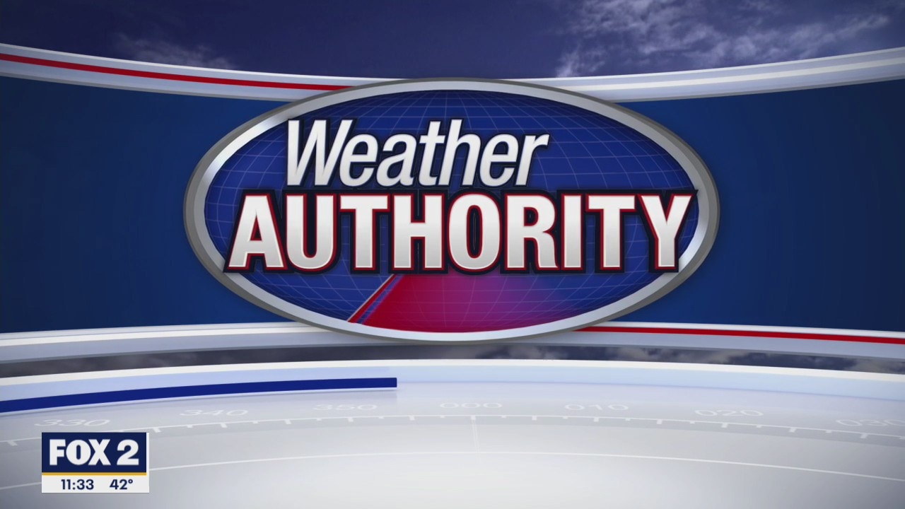
A cool but dry weekend ahead
Temps remain slightly below average for the weekend, but it won't be too cold.
Temps remain slightly below average for the weekend, but it won't be too cold.
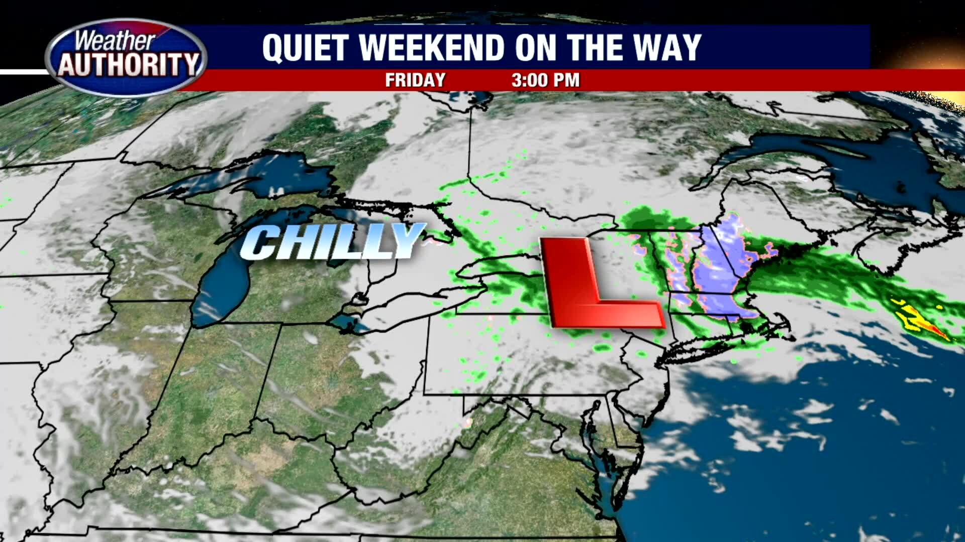
Drying out and warming up! A bit.
60 over the weekend!
60 over the weekend!

Still a bit chilly for Friday
Rich Luterman has the forecast.
Rich Luterman has the forecast.

Some snowflakes out there today
A cold, breezy and snowy April today on Thursday
A cold, breezy and snowy April today on Thursday

Thursday morning flakes fly! It will be a cold day for SE Michigan.
High temps in the 40's!
High temps in the 40's!

Brisk and cool for Thursday
Rich Luterman has the forecast.
Rich Luterman has the forecast.

Rain free Wednesday as temps turn down a bit
Highs in the 50s the next couple of days. Rain and snow showers possible Thursday.
Highs in the 50s the next couple of days. Rain and snow showers possible Thursday.
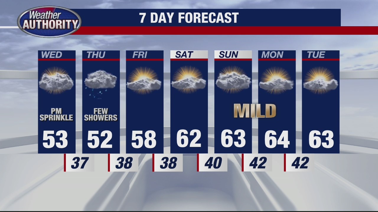
A bit of rain for Wednesday
Rich Luterman has the forecast.
Rich Luterman has the forecast.

Sunny & Mild Tuesday
Drier air working in brings a sunny day with milder temperatures. Change on the way with rain and cooler air. Meteorologist Lori Pinson has your forecast.
Drier air working in brings a sunny day with milder temperatures. Change on the way with rain and cooler air. Meteorologist Lori Pinson has your forecast.

Soak in the nice Tuesday weather, cooler weather arrives midweek.
Mid 60's with sun for your Tuesday.
Mid 60's with sun for your Tuesday.

A pleasant Tuesday on tap
Rich Luterman has the forecast.
Rich Luterman has the forecast.
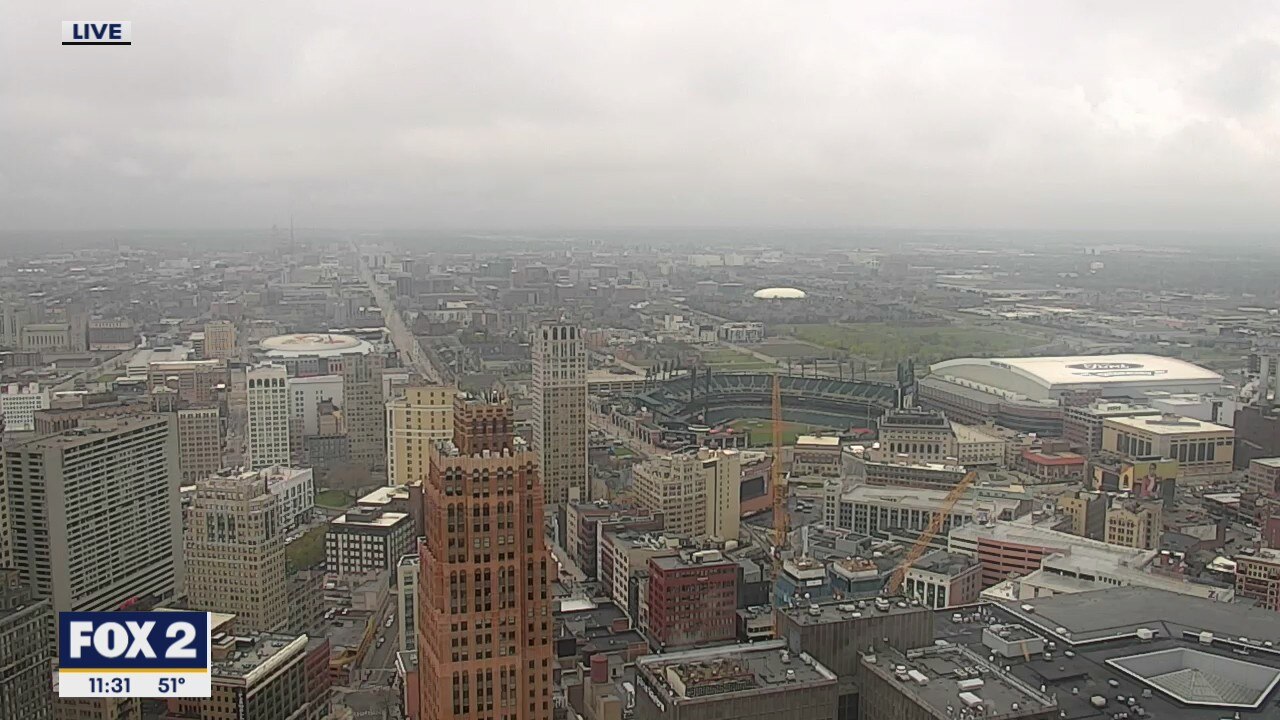
Showers & Milder Today
An area of Low pressure brings scattered showers to the area today with slightly milder temperatures. More rain in the forecast mid week. Meteorologist Lori Pinson has your forecast
An area of Low pressure brings scattered showers to the area today with slightly milder temperatures. More rain in the forecast mid week. Meteorologist Lori Pinson has your forecast

A few Monday showers -- dry by Tuesday
High temps in the 60's the next couple of days.
High temps in the 60's the next couple of days.