

Rain, sleet, snow, then freezing weather coming to Southeast Michigan

(FOX 2) - Get ready for a smorgasbord of winter weather across Michigan this Thursday afternoon, evening and night.
A Winter Weather Advisory is in effect across the state until tomorrow morning.
Here's what we are expecting:
Already we are seeing some passing cold raindrops and reports of sleet in and around Metro Detroit.
Sleet and freezing rain are possible as we move through this afternoon and evening, but let me take a minute to explain how they are different. Sleet is those little ice pellets that you hear hitting your car windshield while freezing rain is simply raindrops that hit the ground when the temperatures are freezing.
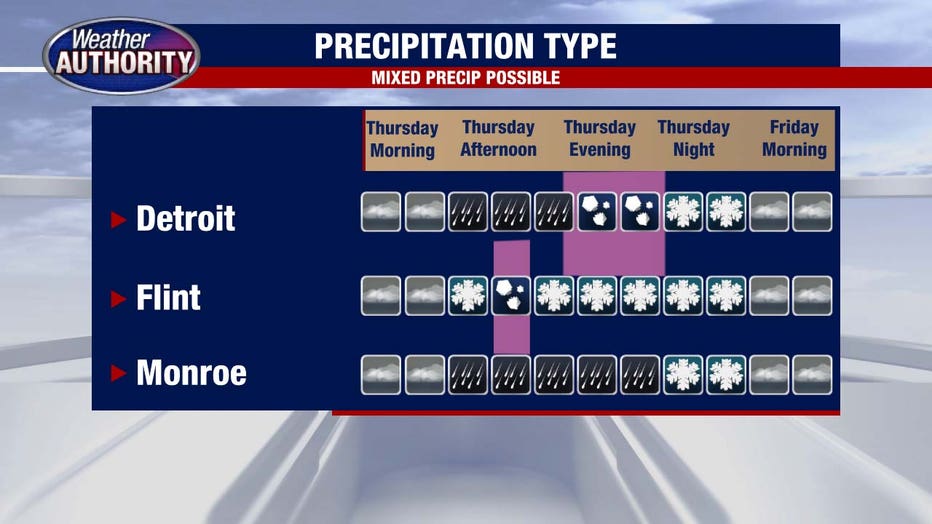
This creates a sheet of ice which makes freezing rain very dangerous. Both are possible throughout the day today just at different times.
From now until about 4 p.m. surface temperatures will be above freezing which is why I think freezing rain is not a threat. Cold rain and sleet are likely during this window of time.
After then and stretching through dinnertime, ground temperatures will drop to nearly freezing which makes the threat of freezing rain increase. Spotty rain showers are possible, meaning a light coating of ice on the roadways and objects is something we should be watching for and carefully traveling through.
Treated surfaces like freeways will have a better opportunity to avoid the coating, but not every spot will be treated... so be careful!
As we had into the nighttime hours, especially after midnight, the rain will switch over into snowflakes.
A brief window for snow exists, but because it is such a short period of time and moves quick, I am not too concerned about snowfall totals. Most of southeast Michigan (especially spots south of the city of Detroit) will see less than 1 inch of accumulating snow.
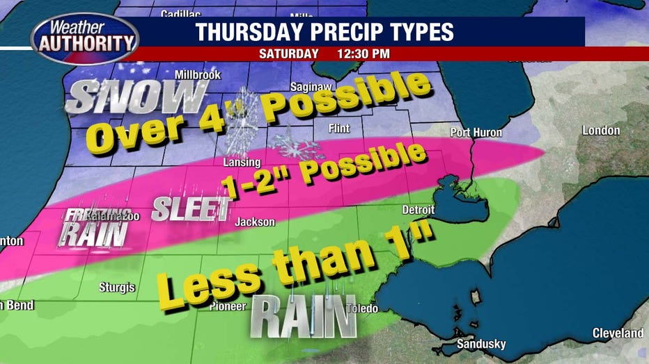
Northern Oakland, Livingston, and Macomb Counties will fall in the snowfall range of 1-2 inches. If you're looking for heavy snow, you'll have to travel north of Flint and into mid-Michigan where they are anticipating 3-5 inches (or more!).
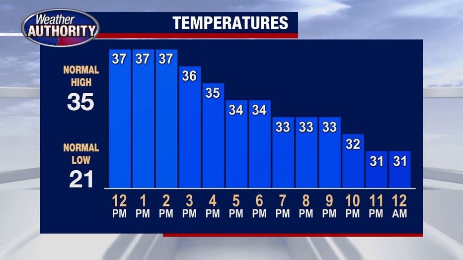
Cold air quickly follows the system in and keeps things feeling frigid on Friday. Highs will only make it into the upper 20s.
By the weekend we're back into the 40s and nearly 50 by Sunday.