

Severe weather Monday morning: Storms move through SE Michigan
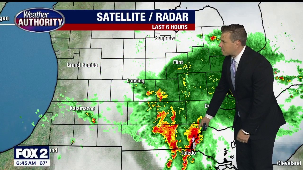
FOX 2 - Southeast Michigan is waking up to a wet and stormy start as another round of active weather rolls through the region.
Timeline:
Heavy rain and thunderstorms will continue tracking from west to east through the morning hours, and some communities could pick up quite a bit of rain in a short period of time.
A severe thunderstorm warning had been issued for Washtenaw County until 6:15 a.m. but that has been canceled.
If you’re heading out the door for work or camp drop-offs, it would be a good idea to allow yourself a little extra travel time. Roads could become ponded in spots, visibility may be reduced during heavier downpours, and the morning commute could end up being a slow one.
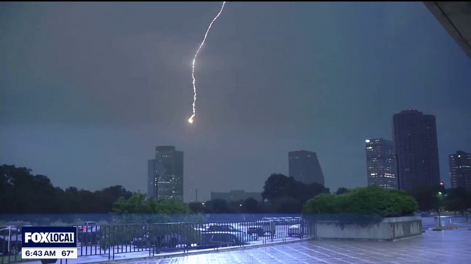
Lightning in Southfield Monday morning.
The good news is that the second half of the day looks considerably quieter. Most of the rain should move out by early afternoon, allowing us to salvage at least part of the day.
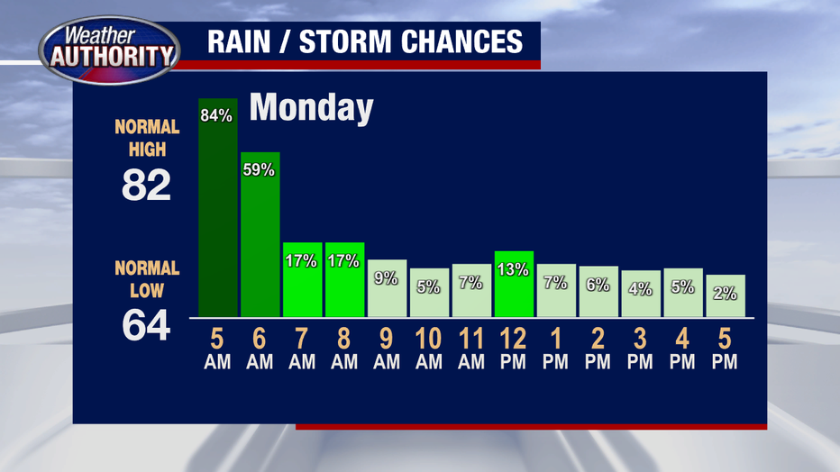
How long with storms last?
Temperatures will climb into the middle 80s, with a high of around 86 degrees. Humidity levels will remain elevated, so even the dry stretches will still feel rather muggy.
We’re not completely finished with the rain chances just yet. A few lingering showers could redevelop overnight as temperatures fall back to around 67 degrees.
The unsettled pattern sticks around for at least a couple more days.

Both Tuesday and Wednesday will feature a mix of clouds, some sunshine, and scattered thunderstorms that will be most likely later in the afternoon and evening hours.
How hot will it be?
High temperatures will remain in the middle 80s, and the humidity isn’t going anywhere.
The bottom line: plan for a soggy and stormy start, a quieter afternoon, and several more chances for showers and thunderstorms as we move through the middle of the week.
Watch FOX 2 Detroit Live:
Stay with FOX 2 for more information on all the active weather this morning.