


Big Temperature Drop Today
A cold front moved through overnight, changing our wind direction and dropping temperatures for today. Meteorologist Lori Pinson has your forecast.
A cold front moved through overnight, changing our wind direction and dropping temperatures for today. Meteorologist Lori Pinson has your forecast.

A much colder Monday!
Windy, colder with flurries today.
Windy, colder with flurries today.

Thinning Ice on Great Lakes
FOX 2 News Weekend
FOX 2 News Weekend

Sunday Rain and Rumble Chance
A few showers and rumbles of thunder are possible today with highs expected to soar into the mid and upper 50s. Tonight, look for lows to bottom out near freezing with a few flurries by Monday. Lots of sunshine is in our forecast through this upcoming workweek.
A few showers and rumbles of thunder are possible today with highs expected to soar into the mid and upper 50s. Tonight, look for lows to bottom out near freezing with a few flurries by Monday. Lots of sunshine is in our forecast through this upcoming workweek.
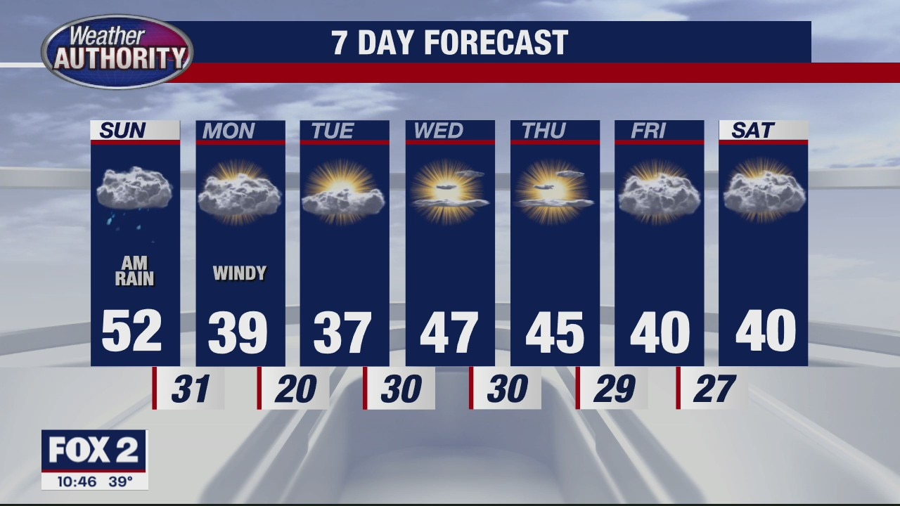
Rainy, Then Cooler
At least one more mild day Sunday, then rain and cooler temperatures associated with a cold front. Meteorologist Lori Pinson has the forecast
At least one more mild day Sunday, then rain and cooler temperatures associated with a cold front. Meteorologist Lori Pinson has the forecast

Becoming Partly Sunny
A wet start this morning will lead to a dry end to the day with highs in the upper 40s.
A wet start this morning will lead to a dry end to the day with highs in the upper 40s.

Mixed Precipitation Overnight
Around midnight, a wintry mix of rain and freezing rain will be south of Detroit, more snow to the north. Meteorologist Lori Pinson has your forecast.
Around midnight, a wintry mix of rain and freezing rain will be south of Detroit, more snow to the north. Meteorologist Lori Pinson has your forecast.

Friday forecast! Cold but bright, with some rain/wintry mix on the way!
Rain tonight but we're still near 50 for the weekend.
Rain tonight but we're still near 50 for the weekend.

Friday forecast! Cold but bright, some rain is on the way tonight.
Some freezing rain could mix in too then we'll warm for the weekend.
Some freezing rain could mix in too then we'll warm for the weekend.

Warming up
Rich Luterman has the forecast.
Rich Luterman has the forecast.
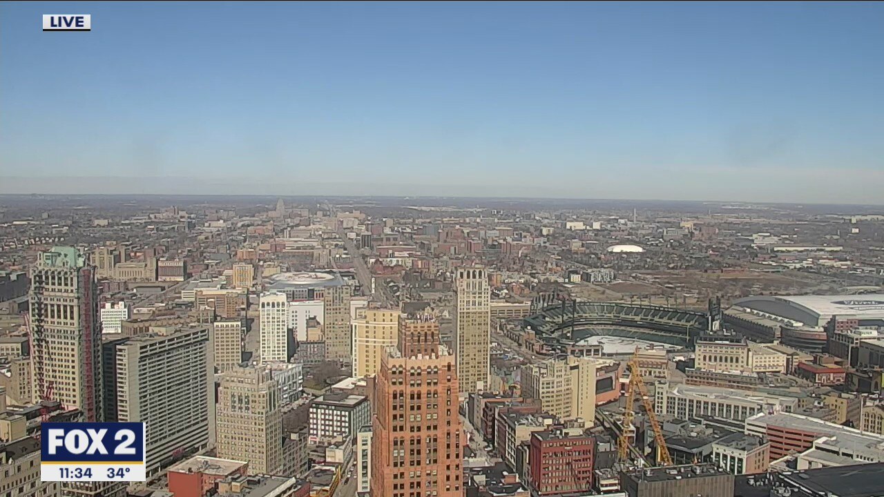
A sunny day ahead
A few cooler (but not cold) days before the weekend brings us back to nearly 50.
A few cooler (but not cold) days before the weekend brings us back to nearly 50.

We're taking a step back temperature wise to wind down the week.
Highs in the 30's for a couple with the 40's to follow for the weekend.
Highs in the 30's for a couple with the 40's to follow for the weekend.

Still mild, but a little cooler for Thursday
Rich Luterman has the forecast.
Rich Luterman has the forecast.

Another day in the 40's with a late week cool-down looming.
From the 40's today to the 30's tomorrow.
From the 40's today to the 30's tomorrow.

Warmer trend continues
Rich Luterman has the forecast.
Rich Luterman has the forecast.

A milder weekend ahead
Higher winds still an issue on Tuesday
Higher winds still an issue on Tuesday

Snow is winding down and temps are moving up!
We're near 40 the next couple of days.
We're near 40 the next couple of days.

Finally an end to the deep freeze
Rich Luterman has the forecast.
Rich Luterman has the forecast.

A milder week ahead
Temperatures rise to about 40 degrees a few times this week.
Temperatures rise to about 40 degrees a few times this week.

Light showers linger Monday morning, temps are moving up!
It's the first time we've been above freezing since early February.
It's the first time we've been above freezing since early February.