


Another Cold Night
Next chance for snow comes on Sunday
Next chance for snow comes on Sunday

Chilly Thursday with Flurries
Although we are chilly with a few flurries from time to time, no snowfall accumulations are expected on Thursday. Temperatures will get stuck in the low and mid 20s this afternoon under partly to mostly cloudy skies. Though we should enjoy a few more rays of sunshine on Friday, our attention is focused on Sunday, Monday and Tuesday with another winter weather maker making an approach toward southeast Michigan. Snow shovels, snow blowers and salt may be needed into early next week.
Although we are chilly with a few flurries from time to time, no snowfall accumulations are expected on Thursday. Temperatures will get stuck in the low and mid 20s this afternoon under partly to mostly cloudy skies. Though we should enjoy a few more rays of sunshine on Friday, our attention is focused on Sunday, Monday and Tuesday with another winter weather maker making an approach toward southeast Michigan. Snow shovels, snow blowers and salt may be needed into early next week.

Thursday flurries, clouds and cold!
Our next chance for accumulating snowfall will arrive Sunday.
Our next chance for accumulating snowfall will arrive Sunday.

Plan on a colder couple of days
Next chance for snow arrives on Sunday
Next chance for snow arrives on Sunday

A cold few days around here
But dry until the weekend
But dry until the weekend
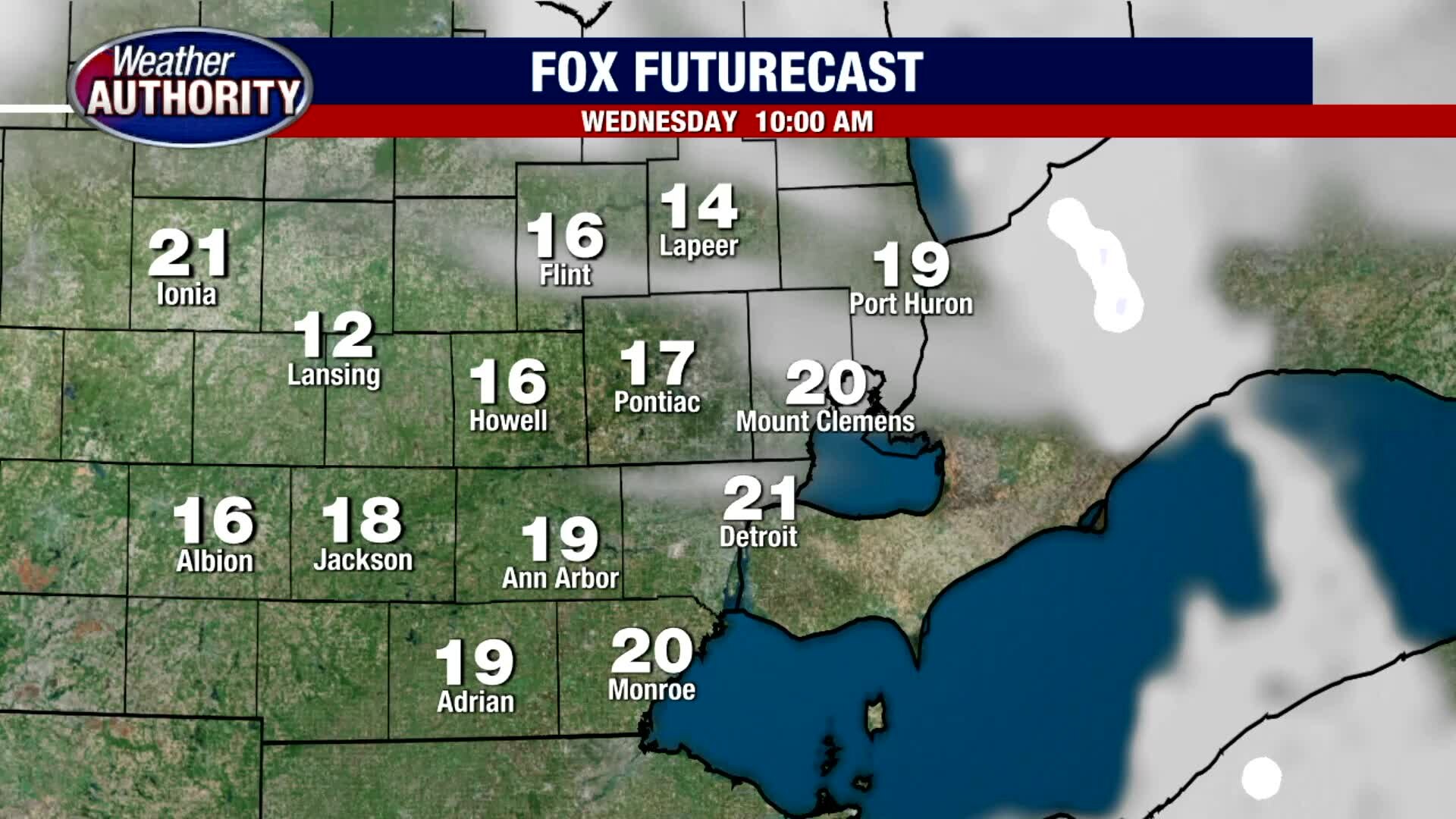
Chilly Wednesday Sunshine
After a chilly start this morning with temperatures in the teens with wind chills in the single digits, you will enjoy more sunshine than clouds this afternoon with highs in the mid 20s. Expect lows tonight to fall into the low teens with wind chills in the single digits. Though we are snow free today, snow chances return by Sunday and Monday.
After a chilly start this morning with temperatures in the teens with wind chills in the single digits, you will enjoy more sunshine than clouds this afternoon with highs in the mid 20s. Expect lows tonight to fall into the low teens with wind chills in the single digits. Though we are snow free today, snow chances return by Sunday and Monday.

A break from the snow but the colder air is coming
High temps will ride a bit below average through the week.
High temps will ride a bit below average through the week.

Cold overnights coming our way
Rich Luterman has the chilly forecast.
Rich Luterman has the chilly forecast.

Snow Winding Down Tuesday Afternoon
After picking up between a coating (south) to nearly 4" of snow in our northern suburbs, the system that brought us this morning's snow is pulling to our east and into Canada. In its wake, expect temperatures in the low 30s for highs before frigid cold air pours into Metro Detroit overnight and through the rest of the week with highs only in the 20s.
After picking up between a coating (south) to nearly 4" of snow in our northern suburbs, the system that brought us this morning's snow is pulling to our east and into Canada. In its wake, expect temperatures in the low 30s for highs before frigid cold air pours into Metro Detroit overnight and through the rest of the week with highs only in the 20s.

Snowy Start Tuesday
It was a slick and slippery start this Tuesday morning with 1" to 3" of snow area wide. A few spots could pick up nearly 4" of snow. This will be a more heavy, wet snow, so take your time. The snow should begin to taper by midday. Highs should top out near freezing with overnight lows plunging back into upper teens and low 20s.
It was a slick and slippery start this Tuesday morning with 1" to 3" of snow area wide. A few spots could pick up nearly 4" of snow. This will be a more heavy, wet snow, so take your time. The snow should begin to taper by midday. Highs should top out near freezing with overnight lows plunging back into upper teens and low 20s.


Up to 4 inches of snow falling on parts of Metro Detroit Tuesday morning.
Metro Detroit is getting one of its heaviest dumps of snow this winter as an expected 4 inches of precipitation is expected to fall in some parts of Oakland, Wayne, and Macomb County.
Metro Detroit is getting one of its heaviest dumps of snow this winter as an expected 4 inches of precipitation is expected to fall in some parts of Oakland, Wayne, and Macomb County.

Tracking Tuesday Morning Snow
Expect a slow morning commute this morning with snow showers. By the time everything is said and done, we should pick up between 1 to 3 inches of snow with a few spots picking up closer to 4 inches plus. Highs should top out around freezing with overnight lows in the upper teens and low 20s.
Expect a slow morning commute this morning with snow showers. By the time everything is said and done, we should pick up between 1 to 3 inches of snow with a few spots picking up closer to 4 inches plus. Highs should top out around freezing with overnight lows in the upper teens and low 20s.

Winter Weather Advisory issued until 4 p.m. Tuesday
Rich Luterman tells us what to expect as the snow moves in overnight.
Rich Luterman tells us what to expect as the snow moves in overnight.

About 2 to 4 inches of snow expected for Tuesday
Rich Luterman has the forecast.
Rich Luterman has the forecast.
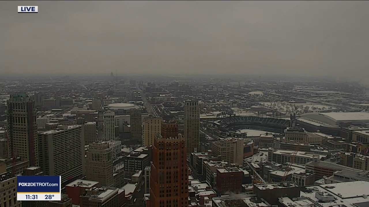
Winter storm expected to bring us 2-4" Tuesday
Beginning around midnight Monday the snow will begin and last through Tuesday
Beginning around midnight Monday the snow will begin and last through Tuesday

Plan on a dry Monday, but more snow is on the way!
Patchy fog is around this morning.
Patchy fog is around this morning.

A Look Inside the Dabls Mbad African Bead Museum in Detroit
FOX 2 News Weekend
FOX 2 News Weekend

Light Snow Sunday
Expect light snow showers through the late morning and into the afternoon and evening today. Snowfall total accumulations should range between a trace to 1" with a few spots picking up closer to 2" in the Irish Hills. Look for highs in the upper 20s to near 30 degrees. Another round of snow is on the way Monday night and through the day on Tuesday.
Expect light snow showers through the late morning and into the afternoon and evening today. Snowfall total accumulations should range between a trace to 1" with a few spots picking up closer to 2" in the Irish Hills. Look for highs in the upper 20s to near 30 degrees. Another round of snow is on the way Monday night and through the day on Tuesday.

Snow Moving In Sunday
Snow will begin to move into the area Sunday morning with light accumulations expected, 1" to 2". Meteorologist Lori Pinson has your forecast
Snow will begin to move into the area Sunday morning with light accumulations expected, 1" to 2". Meteorologist Lori Pinson has your forecast

Freezing Cold Saturday
After a very chilly start this morning, look for a partly sunny day with highs only in the 20s. Snow showers are on the way both Sunday, and Monday evening into Tuesday.
After a very chilly start this morning, look for a partly sunny day with highs only in the 20s. Snow showers are on the way both Sunday, and Monday evening into Tuesday.