Air quality alert in effect for Southeast Michigan Monday as region returns to high heat, storm potential

Air Quality Alert
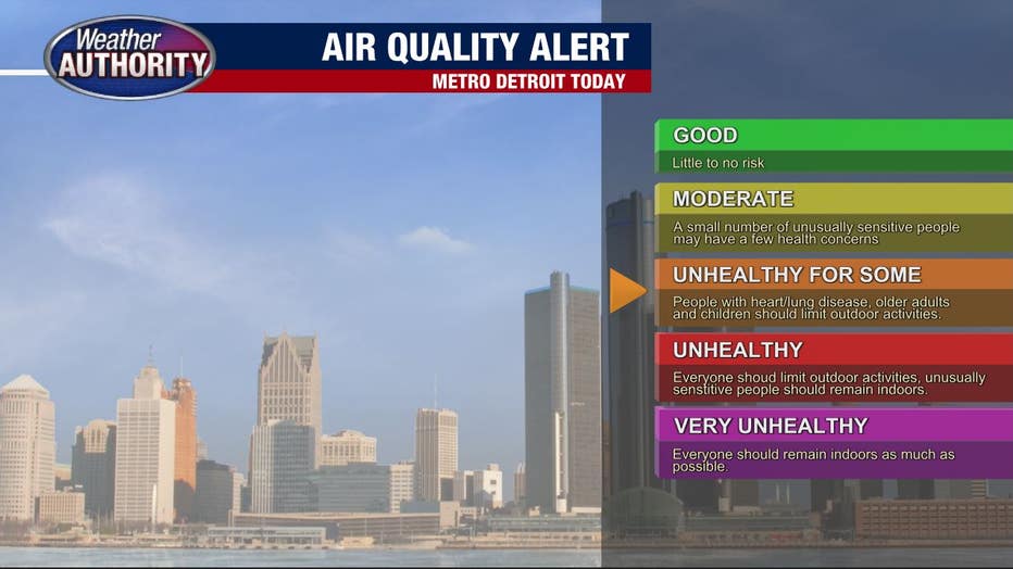
An Air Quality Alert is in effect today for elevated levels of ground level ozone. If you have respiratory concerns, limit your time outdoors. Hot and humid today with the threat of rain. Meteorologist Lori Pinson has your forecast
(FOX 2) - We're back to the heat and humidity!
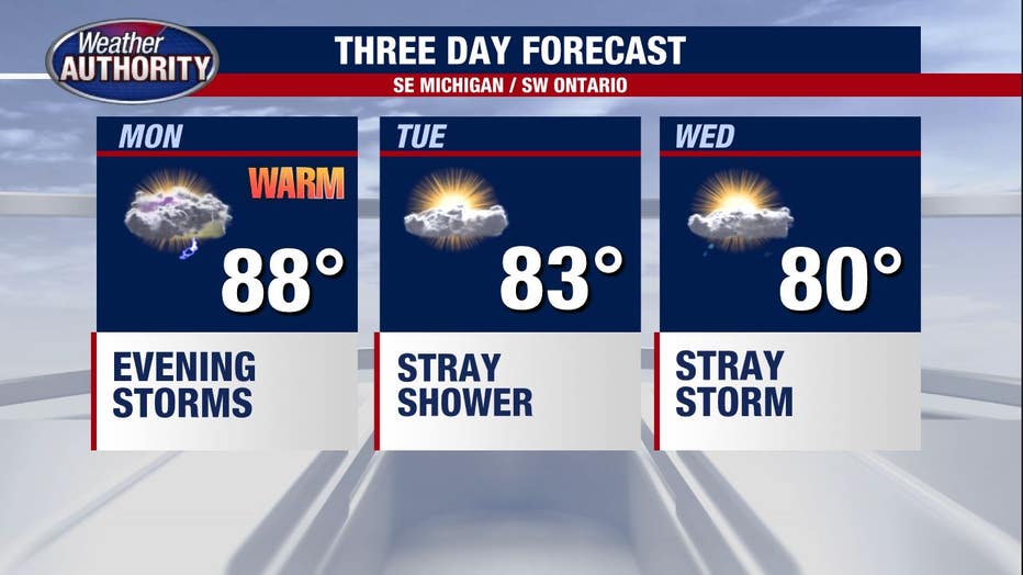
Temperatures wind up in the mid-to-upper 80s this afternoon and humidity increases ahead of a cold front.
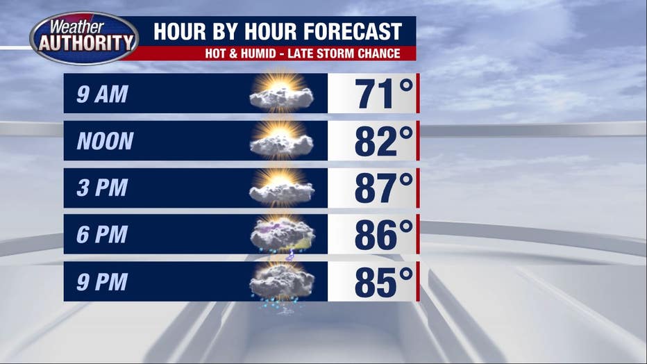
Most of the day will be dry, but by 5-7 p.m. storms will be possible. Check out one of our high resolution models showing more of us are dry than not at that point, which I think is a plausible scenario.
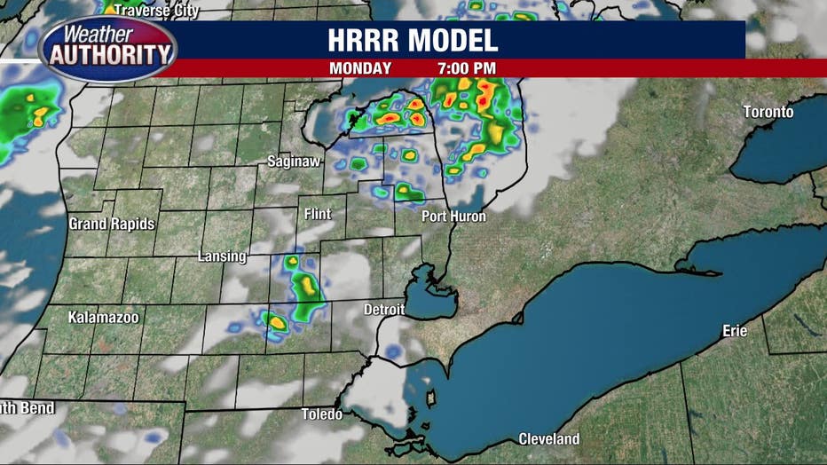
The chance for storms will continue into the night and while we may not all see the storms, those who do will contend with the possibility for heavy rain and potentially strong or severe winds.
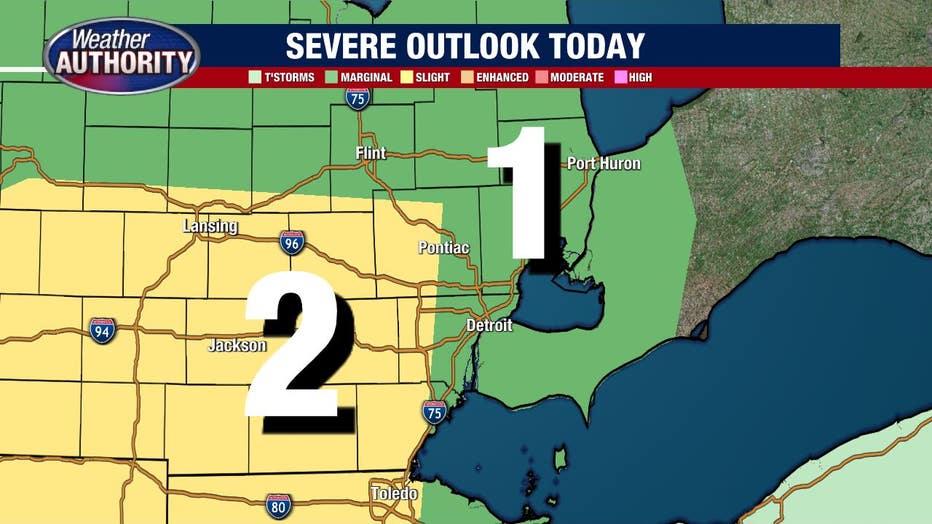
We are under the slight and marginal risks for severe wind gusts.
We'll also be under an air quality alert which means pollutants in the air will be high enough to be considered unhealthy for those sensitive to these issues. That includes our older adults, younger kids, or anyone with respiratory issues.
Temperatures and humidity come down Tuesday and Wednesday with the off chance for a few pesky showers or storms both days, though they look quite spotty in coverage.