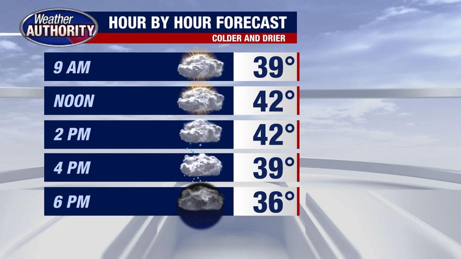
Cold air pours back into Michigan with wind gusts up to 30 mph this afternoon

Colder air is pouring back into the Great Lakes after yesterday's brief warm-up.
It's doing so on a west wind that you'll notice today, gusting up to 30 mph by the afternoon.
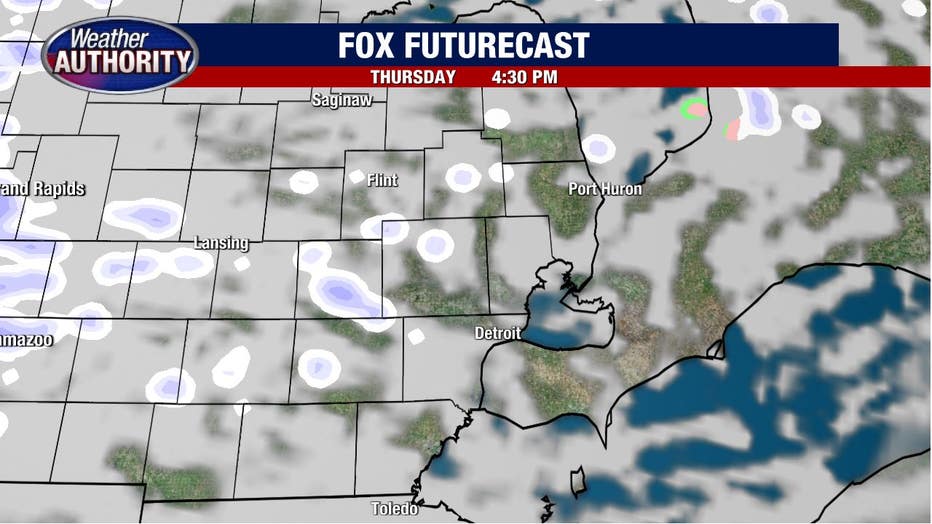
That will activate lake effect snow off of Lake Michigan which will likely make it into Southeast Michigan on a hit-or-miss basis this afternoon.
A couple of those showers may become briefly heavier, limiting your visibility, although many of us only see some flurries if anything.
Any showers lingering late in the day will fade overnight and temperatures will fall into the 20's by Friday morning as skies clear.
Friday will wind up a bit brighter overall with a chilly weekend ahead.
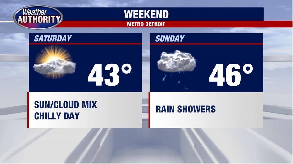
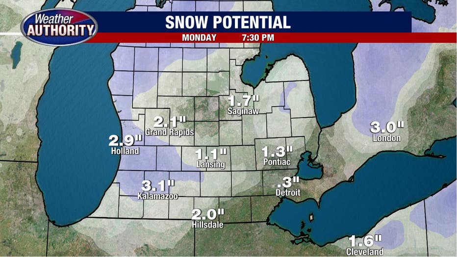
Rain showers on Sunday will turn over to snow showers by Monday and while it's too early to get specific with any potential snow totals, we're not looking at anything major in Southeast Michigan.
The snow will be more disruptive in West Michigan and northern lower Michigan.