This is Severe Weather Awareness Week. Let's prepare for what could be a turbulent season!
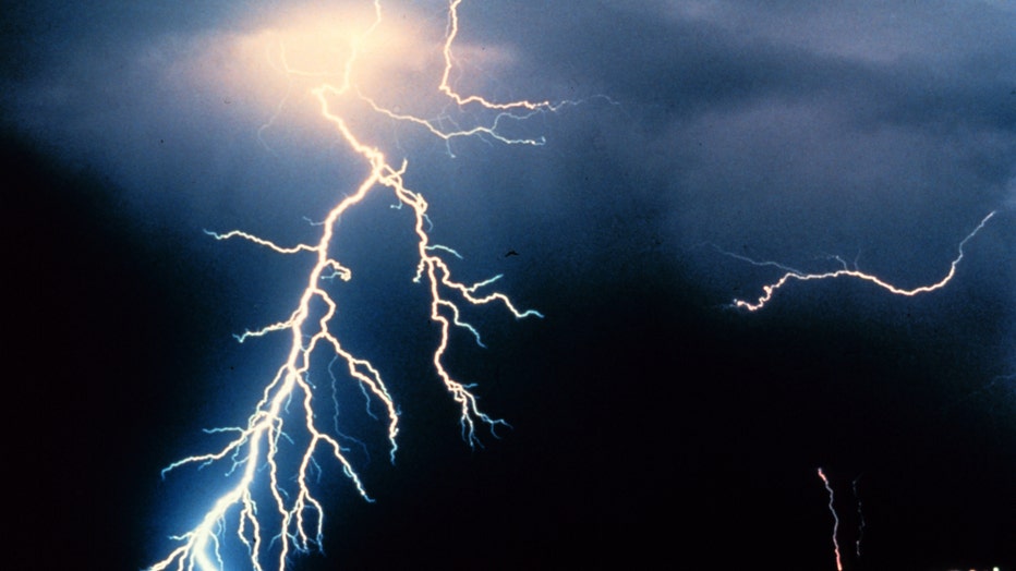
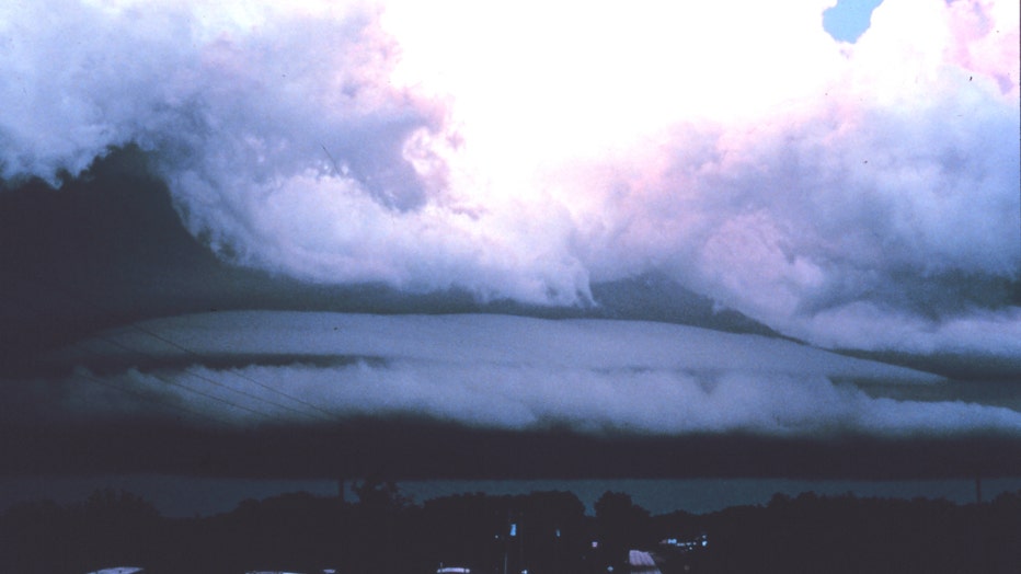
DETROIT (FOX2) - Spring is finally here and with it we look forward to warming temperatures, mild breezes and longer days of sunlight. And that’s great. But the mild months ahead also bring the threat of severe weather. Warm, moist air creating instability and lift produces thunderstorms and their offspring; tornadoes, hail, lightning and flooding.

(courtesy: NOAA)
This is the start of Severe Weather Awareness Week in Michigan. All this week, we will look at Michigan’s natural disasters; their formation, results and fatalities as a means of learning from the past and applying our knowledge to the future.
According to the National Weather Service, with some exceptions, most of Michigan’s severe weather events take place in the months of May and June.

(courtesy: NOAA)
There were 204 severe events in June of 2008. Perhaps you were one of the 300,000 people who lost power due to hurricane force winds (85 mph) howling across seven southeast Michigan counties on June 8th.
Or, maybe you recall May of 2004 as a rainy month. In fact, at that time, May 2004 set a new record for days with the most thunderstorms (14), topping the list as the rainiest May in 126 years!

(courtesy: NOAA)
We’ve had our share of tornadoes too. Six tornadoes developed during the evening of May 28, 2013, varying in strength, causing structural damage.
This week, we’ll revisit some of nature’s hazards, explain watches and warnings and provide tips on what you can do to protect yourself and your family during severe weather season.
Watch this space for more Weather or Not. Up next: we’ll discuss severe thunderstorms; their formation, frequency, watches and warnings.

