

Southeast Michigan tornado threat passes; flooding still a concern for the rest of the day
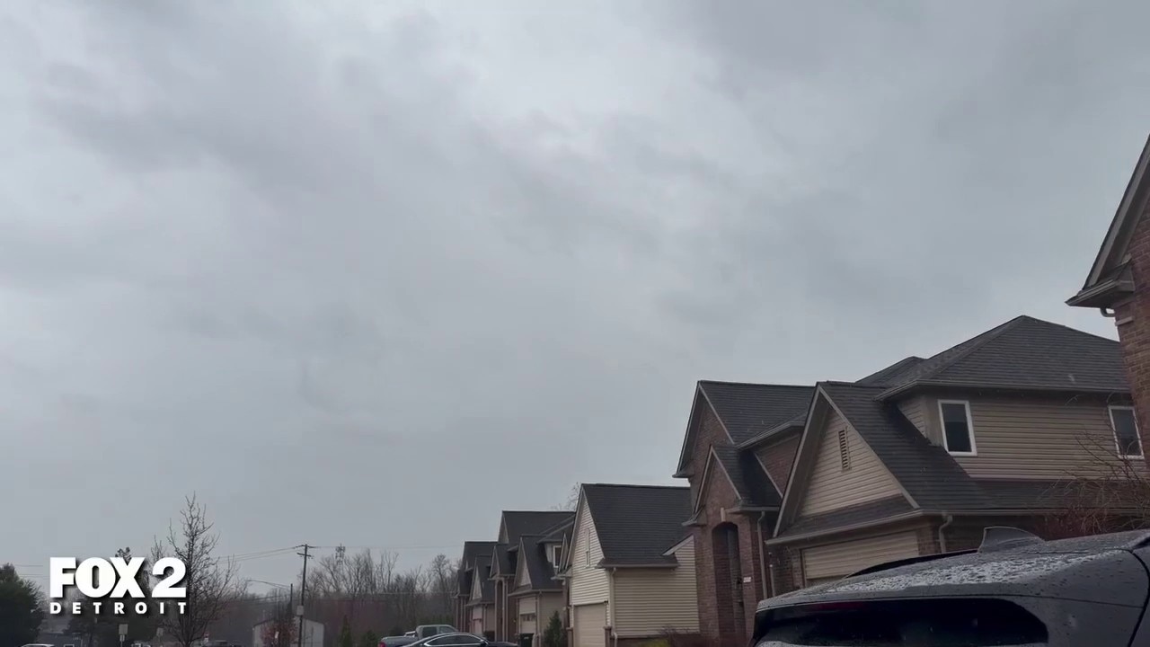
Areas of Southeast Michigan damaged by strong storms
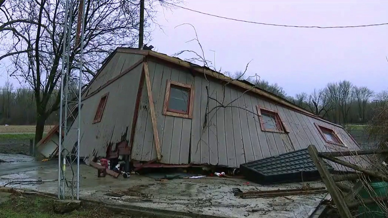
Strong storms took down trees and damaged buildings in some areas of Southeast Michigan on Saturday. Some of the worst damage was seen in Monroe County, along with the Van Buren Township and Belleville areas in western Wayne County.
DETROIT (FOX 2) - All Tornado Warnings for Southeast Michigan have expired as of 6:40 p.m. Saturday.
It’s been an active and at times loud day across Southeast Michigan, and we’re not quite done yet.

Summerfield Road in Monroe County
A round of strong to severe thunderstorms has already pushed through the region, soaking just about everything in its path and leaving behind a very wet setup heading into the evening.
Tornado sirens blaring in Sterling Heights as warnings hit Southeast Michigan
Tornado warnings sprout across Southeast Michigan with alarms blaring from Monroe to Oakland Counties.
More rain in Southeast Michigan
We’ve already picked up a widespread 1 to 3 inches of rain across parts of Michigan, and that’s setting the stage for the next concern: additional rainfall on top of saturated ground.
More showers and embedded thunderstorms will continue to move through this evening and into the early nighttime hours, and that raises the risk for localized flooding.
A Flood Watch remains in effect until midnight, so any area that tends to collect water will need to be watched closely.
Severe weather risk
Off to the south, Monroe County has already seen Severe Thunderstorm Warnings today, and a Severe Thunderstorm Watch remains in place there until 9 p.m.
For the rest of Southeast Michigan, the severe threat is lower, but not zero. Additional storms this evening could still produce wind gusts in the 30 to 40 mph range along with heavy downpours that could quickly reduce visibility and pond water on roads.
Easter forecast
Once this system finally clears out, the pattern flips quickly. Colder air rushes in behind the front, and it’s going to be noticeable.
Easter Sunday will feel more like early March than mid-April. High temperatures will struggle to reach the low 40s, and with a persistent breeze, it’ll feel closer to the upper 30s through much of the afternoon.
If you’ve got outdoor plans, it’s definitely a bundle-up kind of day. Even the Easter Bunny is going to need an extra layer this year.