Rain, wind on the way for Southeast Michigan as temperatures get warmer

(FOX 2) - Temperatures will be moving the next few days.
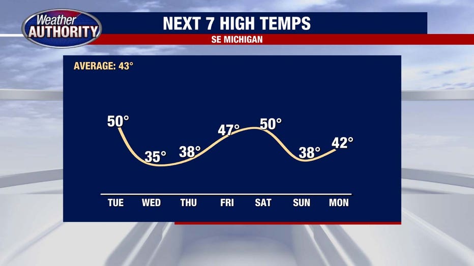
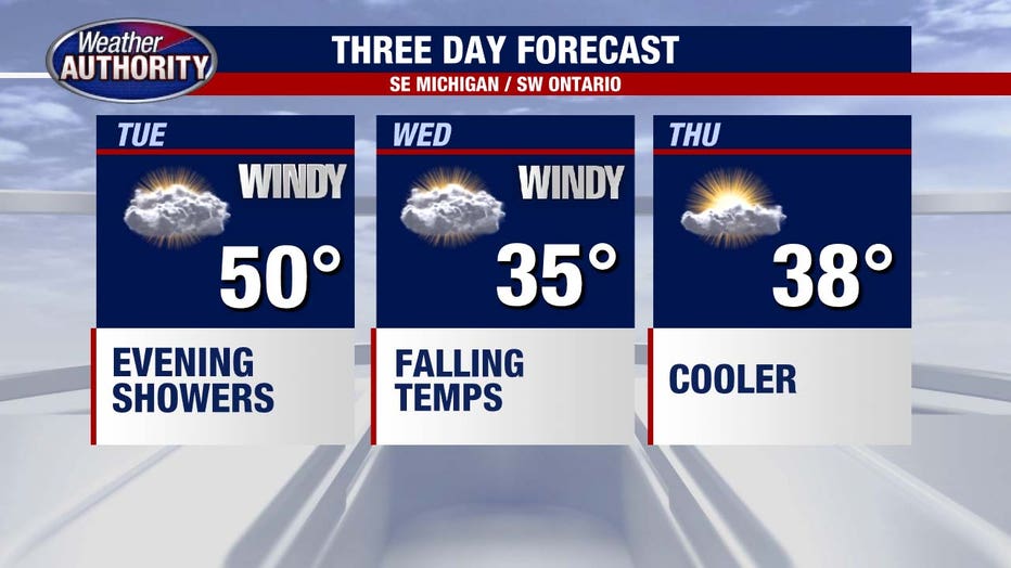
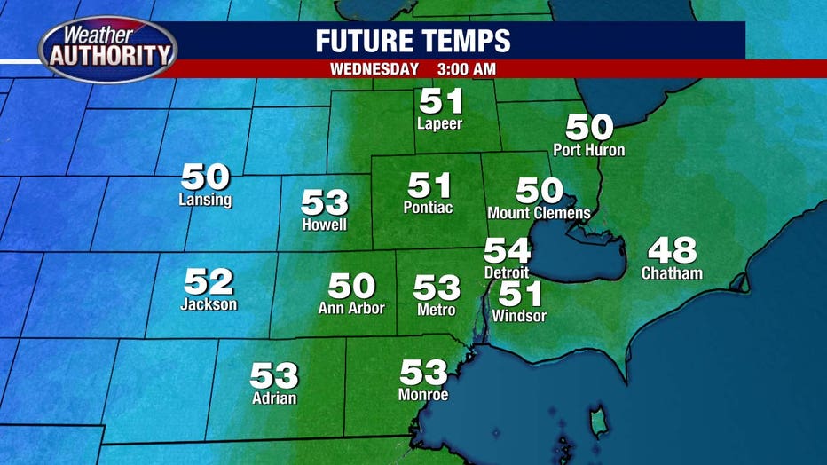
And it will be in an atypical way at times, with Wednesday's official high likely ending up in the 50s, the oddness resting in the time that happens. Wednesday high temperatures will occur early, sometime between midnight and the morning commute.
This happens as low pressure tracks to our west and deepens, enhancing our wind beginning this afternoon (30 mph gusts) and increasing it further tomorrow, at which time a wind advisory may be required (46 mph gusts).
The southerly flow draws in plenty of moisture leading to a pretty good bet for rain. Some showers become possible after sunset today. Here's a 7 p.m. snapshot of simulated radar.
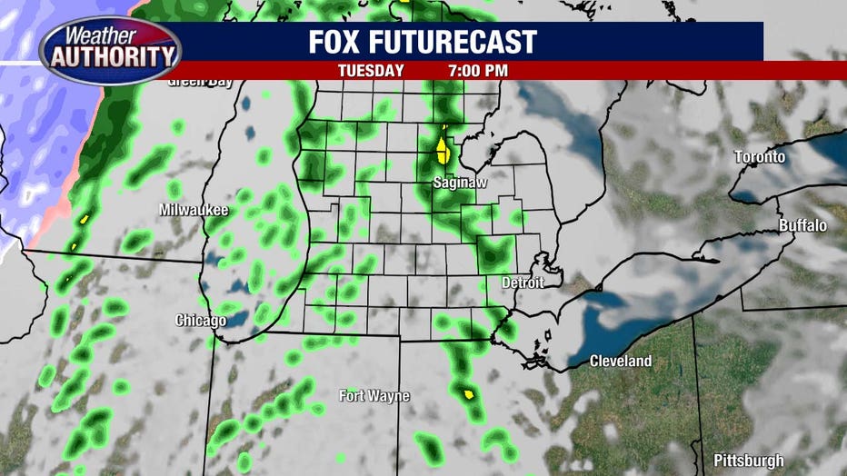
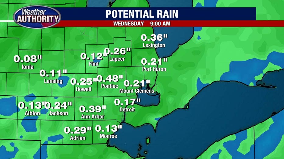
Rain becomes more widespread after midnight and ends early Wednesday morning. A rumble of thunder is possible, which would simply add to a bit more rain. About .1 - .25 inches is a good bet area wide.
Snow on the backside of this system will be lacking, with nothing more than a flurry or brief passing shower possible on Wednesday. By Thursday high pressure builds in and should offer up decent sun.