

Sunny skies later today will push temperatures into the high 80's as severe weather develops out west

A round of wet weather is working through Southeast Michigan this morning, bringing pockets of heavy rain and plenty of lightning before exiting to the east and weakening between 6-8 am.
Clouds will win the morning before the skies brighten up, offering a return of the sun this afternoon which in turn will help propel our temperatures into the upper 80's.
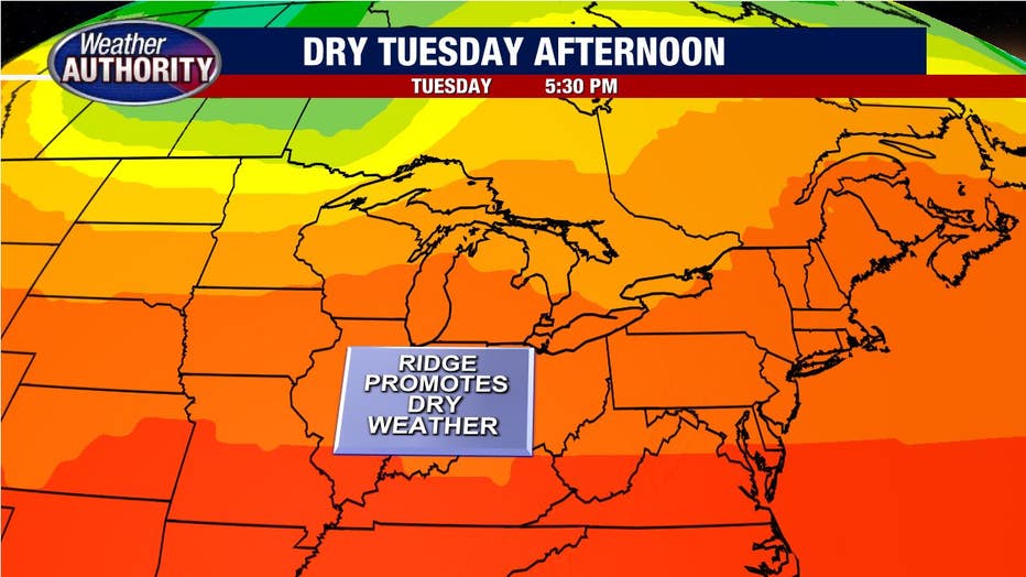
For now, we will be under the influence of a mid-level ridge that offers up dry weather locally.
Damaging winds will accompany storms that will develop back to our west this afternoon and evening.

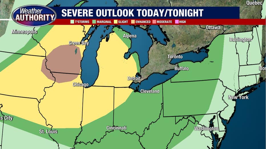
The potential for those storms out west to then find their way into Southeast Michigan tonight into early Wednesday morning exists. Should that happen (certainly not a guarantee!) damaging wind gusts would be a concern and the Storm Prediction Center places Southeast Michigan at a slight risk - about a 2 out of 5 - for severe weather to account for that possibility.
The chance for storms will exist Wednesday and Thursday as well, although the details are murky at this point. A late-week cold front will allow the high humidity to drop off considerably by the weekend.