Cold weather returns Friday with potential snow in southern Michigan

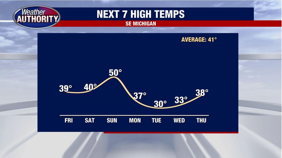
The warm-up is out of here!
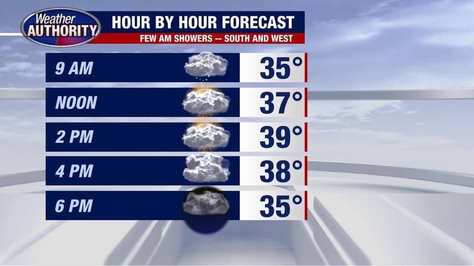
After 56 degrees yesterday, we'll struggle to reach 40 degrees this afternoon. The wind, however, will be on our side, coming in at a much lower level, out of the west around 5 mph.
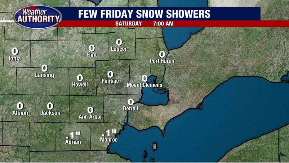
Snow showers will be possible, mainly in our southern and western communities. Check out one of our high-resolution models painting the stripe of snow showers mainly south of the city by 9 a.m.
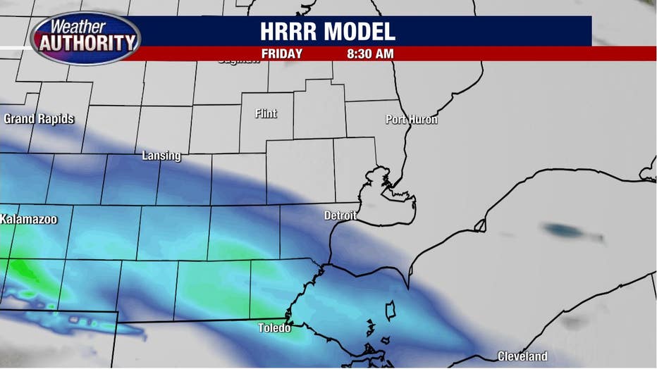
Accumulating snow isn't terribly likely, and anything that does stick will remain under .5 inches and be most likely near Ann Arbor to Monroe and points south and west.
With all that in mind, here's how your day is shaping up.
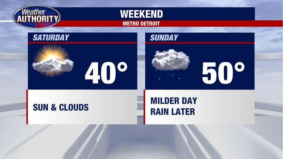
Partly sunny skies Saturday with rain set to return Sunday as low pressure winds up out west.
The rain looks most likely late Sunday as our wind, once again whips up.
Colder weather is back next week, with another chance for snow (looks light at this point) on Tuesday evening into the night and Wednesday.