


Another cold day with some flurries
Another cold day is ahead of us. Some flurries may also fly, but no substantial snowfall is in the forecast for Wednesday.
Another cold day is ahead of us. Some flurries may also fly, but no substantial snowfall is in the forecast for Wednesday.

Snow flurries for Wednesday
Rich Luterman has the forecast.
Rich Luterman has the forecast.


Metro Detroit weather: Cold sticks around, with single-digit wind chills in the forecast
Below average temps continue in Southeast Michigan. Here's how cold it will be the rest of the week:
Below average temps continue in Southeast Michigan. Here's how cold it will be the rest of the week:

Cold temperatures continue for the rest of the week
Some late week snow expected but only about one inch.
Some late week snow expected but only about one inch.

Partly cloudy and cold for Tuesday
Rich Luterman has the forecast.
Rich Luterman has the forecast.

Freezing Light Drizzle early Monday morning
Cold temps stick around all week.
Cold temps stick around all week.


Metro Detroit weather: Another cold day with wind chills in the teens
Another cold start to the day, but we can take some solace in wind chills in the teens instead of the single digits that we experienced over the weekend.
Another cold start to the day, but we can take some solace in wind chills in the teens instead of the single digits that we experienced over the weekend.

Another Cold Start
Wind chills in the teens throughout most of the day with even colder air poised to move in by midweek. Lake effect snows for the thumb today. Meteorologist Lori Pinson has your forecast.
Wind chills in the teens throughout most of the day with even colder air poised to move in by midweek. Lake effect snows for the thumb today. Meteorologist Lori Pinson has your forecast.

Rich Luterman with the 7-day forecast
Our cold pattern continues all week and into next week. We?ll see some flurries Sunday evening through Monday. A stronger system has the potential to bring some snow to the region Friday evening into Saturday morning. Rest of Sunday evening / night?. Cloudy and COLD? some snow flurries... low 21 Monday: Cloudy ? breezy and COLD?. more flurries?. High 27 Tuesday: Sun and clouds?. still cold?.. high 28 Wednesday: Mostly cloudy?. VERY COLD?. high 23 Thursday: Partly cloudy and COLD?. high 25 Friday: Increasing clouds? some evening snow possible?. High 28 Saturday: Cloudy with some flurries?.. high 29
Our cold pattern continues all week and into next week. We?ll see some flurries Sunday evening through Monday. A stronger system has the potential to bring some snow to the region Friday evening into Saturday morning. Rest of Sunday evening / night?. Cloudy and COLD? some snow flurries... low 21 Monday: Cloudy ? breezy and COLD?. more flurries?. High 27 Tuesday: Sun and clouds?. still cold?.. high 28 Wednesday: Mostly cloudy?. VERY COLD?. high 23 Thursday: Partly cloudy and COLD?. high 25 Friday: Increasing clouds? some evening snow possible?. High 28 Saturday: Cloudy with some flurries?.. high 29

Single Digit Wind Chill Morning
Temperatures remain bitterly cold today and through the upcoming work week. Staying below freezing though Saturday with chances of snow by midweek. Meteorologist Lori Pinson has your forecast.
Temperatures remain bitterly cold today and through the upcoming work week. Staying below freezing though Saturday with chances of snow by midweek. Meteorologist Lori Pinson has your forecast.

Cold stretch continues!
Cold tonight with feel like temperatures in the single digits! Cold will continue through next week with a flurry chance to start the week!
Cold tonight with feel like temperatures in the single digits! Cold will continue through next week with a flurry chance to start the week!

Bitterly cold Saturday start
Temperatures will remain below freezing this week with wind chills to start the day in the single digits. Meteorologist Lori Pinson has your forecast.
Temperatures will remain below freezing this week with wind chills to start the day in the single digits. Meteorologist Lori Pinson has your forecast.

Cold start to the weekend!
Few flurries late tonight and early Saturday but expect a dry weekend! Cold temperatures look to stick with us through the next 7 days!
Few flurries late tonight and early Saturday but expect a dry weekend! Cold temperatures look to stick with us through the next 7 days!

Colder temperatures lead us into the weekend
No huge snow makers on our horizon
No huge snow makers on our horizon

Blustery and cold for Friday
Rich Luterman has the forecast.
Rich Luterman has the forecast.

Cold end to the week!
Flurries will move out tonight with lows in the 20s! Cold air sticks around through the end of the week and this weekend!
Flurries will move out tonight with lows in the 20s! Cold air sticks around through the end of the week and this weekend!

Grey start to 2025!
Few snow showers around today with highs in the upper 30s. Becoming colder through the end of the week and this weekend!
Few snow showers around today with highs in the upper 30s. Becoming colder through the end of the week and this weekend!

Snowy start to 2025
Few snow showers around today with highs in the upper 30s. Becoming colder through the end of the week and this weekend!
Few snow showers around today with highs in the upper 30s. Becoming colder through the end of the week and this weekend!
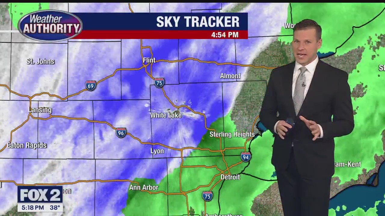
Winter weather arrives once again to Southeast Michigan
As the rain changes over to snow we should see about 1-2" accumulation
As the rain changes over to snow we should see about 1-2" accumulation

New Year's Eve mix
Colder air working in right on time for precip to change to a wintry mix, all snow north. Much colder heading into the weekend. Meteorologist Lori Pinson has your forecast.
Colder air working in right on time for precip to change to a wintry mix, all snow north. Much colder heading into the weekend. Meteorologist Lori Pinson has your forecast.