


Snowy Start Tuesday
It was a slick and slippery start this Tuesday morning with 1" to 3" of snow area wide. A few spots could pick up nearly 4" of snow. This will be a more heavy, wet snow, so take your time. The snow should begin to taper by midday. Highs should top out near freezing with overnight lows plunging back into upper teens and low 20s.
It was a slick and slippery start this Tuesday morning with 1" to 3" of snow area wide. A few spots could pick up nearly 4" of snow. This will be a more heavy, wet snow, so take your time. The snow should begin to taper by midday. Highs should top out near freezing with overnight lows plunging back into upper teens and low 20s.


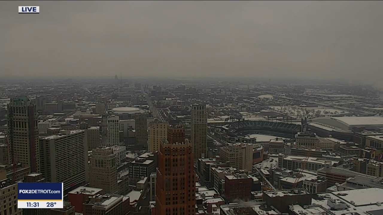
Up to 4 inches of snow falling on parts of Metro Detroit Tuesday morning.
Metro Detroit is getting one of its heaviest dumps of snow this winter as an expected 4 inches of precipitation is expected to fall in some parts of Oakland, Wayne, and Macomb County.
Metro Detroit is getting one of its heaviest dumps of snow this winter as an expected 4 inches of precipitation is expected to fall in some parts of Oakland, Wayne, and Macomb County.


Metro Detroit school closings for Tuesday, January 26
The first major snow event of the season led to dozens of schools that had been open for in-person learning to close Tuesday morning.
The first major snow event of the season led to dozens of schools that had been open for in-person learning to close Tuesday morning.

Tracking Tuesday Morning Snow
Expect a slow morning commute this morning with snow showers. By the time everything is said and done, we should pick up between 1 to 3 inches of snow with a few spots picking up closer to 4 inches plus. Highs should top out around freezing with overnight lows in the upper teens and low 20s.
Expect a slow morning commute this morning with snow showers. By the time everything is said and done, we should pick up between 1 to 3 inches of snow with a few spots picking up closer to 4 inches plus. Highs should top out around freezing with overnight lows in the upper teens and low 20s.

Winter Weather Advisory issued until 4 p.m. Tuesday
Rich Luterman tells us what to expect as the snow moves in overnight.
Rich Luterman tells us what to expect as the snow moves in overnight.

About 2 to 4 inches of snow expected for Tuesday
Rich Luterman has the forecast.
Rich Luterman has the forecast.
Winter storm expected to bring us 2-4" Tuesday
Beginning around midnight Monday the snow will begin and last through Tuesday
Beginning around midnight Monday the snow will begin and last through Tuesday

Plan on a dry Monday, but more snow is on the way!
Patchy fog is around this morning.
Patchy fog is around this morning.

A Look Inside the Dabls Mbad African Bead Museum in Detroit
FOX 2 News Weekend
FOX 2 News Weekend

Meet Dino, Bailey and Brody!
FOX 2 News Weekend
FOX 2 News Weekend

Meet Rommel!
FOX 2 News Weekend
FOX 2 News Weekend

Light Snow Sunday
Expect light snow showers through the late morning and into the afternoon and evening today. Snowfall total accumulations should range between a trace to 1" with a few spots picking up closer to 2" in the Irish Hills. Look for highs in the upper 20s to near 30 degrees. Another round of snow is on the way Monday night and through the day on Tuesday.
Expect light snow showers through the late morning and into the afternoon and evening today. Snowfall total accumulations should range between a trace to 1" with a few spots picking up closer to 2" in the Irish Hills. Look for highs in the upper 20s to near 30 degrees. Another round of snow is on the way Monday night and through the day on Tuesday.

Snow Moving In Sunday
Snow will begin to move into the area Sunday morning with light accumulations expected, 1" to 2". Meteorologist Lori Pinson has your forecast
Snow will begin to move into the area Sunday morning with light accumulations expected, 1" to 2". Meteorologist Lori Pinson has your forecast


The Arctic of yesterday: Report shows a warmer, less frozen Arctic is well underway
NOAA’s 2020 report card shows the Arctic is clearly transforming to a warmer, less frozen and biologically changed region.
NOAA’s 2020 report card shows the Arctic is clearly transforming to a warmer, less frozen and biologically changed region.

Meet Cam & Dalton!
FOX 2 News Weekend
FOX 2 News Weekend

Meet Greta!
FOX 2 News Weekend
FOX 2 News Weekend

Freezing Cold Saturday
After a very chilly start this morning, look for a partly sunny day with highs only in the 20s. Snow showers are on the way both Sunday, and Monday evening into Tuesday.
After a very chilly start this morning, look for a partly sunny day with highs only in the 20s. Snow showers are on the way both Sunday, and Monday evening into Tuesday.

Frosty Saturday Start
Get ready for single and sub zero wind chills to greet you Saturday morning as breezy conditions persist. High pressure building in will bring some sun. Meteorologist Lori Pinson has your forecast.
Get ready for single and sub zero wind chills to greet you Saturday morning as breezy conditions persist. High pressure building in will bring some sun. Meteorologist Lori Pinson has your forecast.

Sub Zero Wind Chill Tonight
After the passage of an arctic cold front, we will deal with wind chills overnight in the single and sub zero range. Meteorologist Lori Pinson has your forecast.
After the passage of an arctic cold front, we will deal with wind chills overnight in the single and sub zero range. Meteorologist Lori Pinson has your forecast.

Meet Dudley!
Fox 2 News
Fox 2 News