


Tigers Opening Day forecast: Breezy and mild weather expected Friday in Detroit
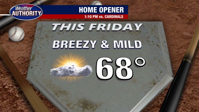
The weather is looking great for tomorrow's Tigers Opening Day game at Comerica Park!
The weather is looking great for tomorrow's Tigers Opening Day game at Comerica Park!

Metro Detroit weather: Limited risk of severe storms later in the day
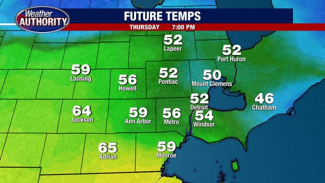
Showers and thunderstorms later Thursday have a limited chance of being severe, so it will be important to keep an eye on the forecast today.
Showers and thunderstorms later Thursday have a limited chance of being severe, so it will be important to keep an eye on the forecast today.
Severe weather possible later today in Metro Detroit
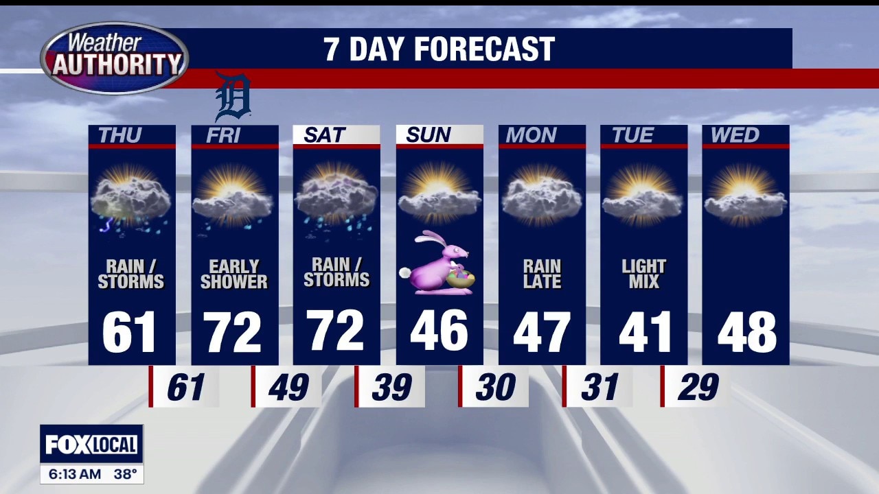
There is a chance for severe weather Thursday evening and night, with gusty winds being the biggest threats.
There is a chance for severe weather Thursday evening and night, with gusty winds being the biggest threats.
Warmer temps, but some rain for Thursday
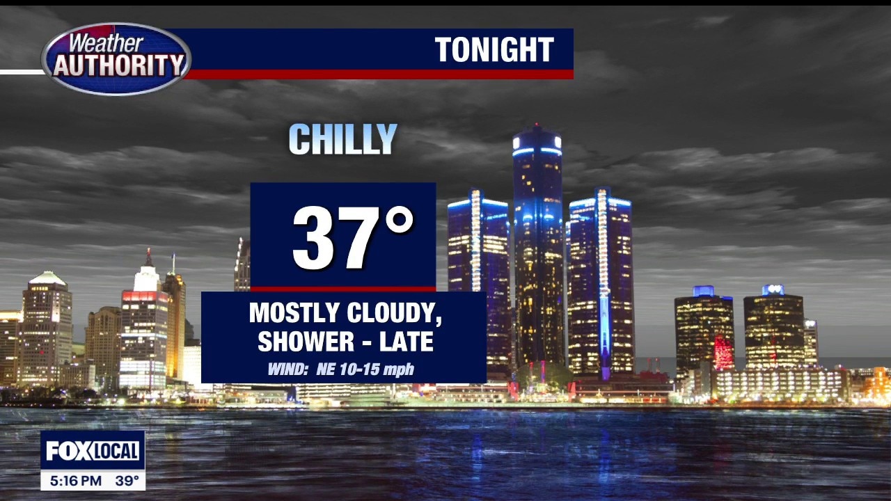
Rich Luterman has the forecast.
Rich Luterman has the forecast.
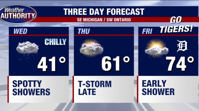

Tigers Opening Day weather: 70s expected in Detroit on Friday
Detroit Tigers Opening Day is Friday, and it's shaping up to be a nice day for baseball in the D.
Detroit Tigers Opening Day is Friday, and it's shaping up to be a nice day for baseball in the D.


Metro Detroit weather: Cold front causes temps to dip Wednesday
Wednesday will be chillier but dry for most areas of Southeast Michigan.
Wednesday will be chillier but dry for most areas of Southeast Michigan.
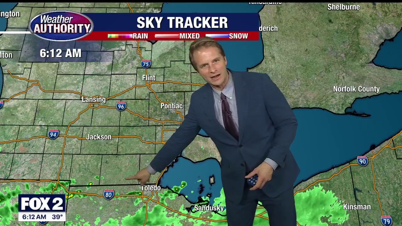
Cooler start to the day after temps dip
Metro Detroit is waking up to a big temperature shift Wednesday morning. Alan Longstreet has what to expect for the rest of the week.
Metro Detroit is waking up to a big temperature shift Wednesday morning. Alan Longstreet has what to expect for the rest of the week.
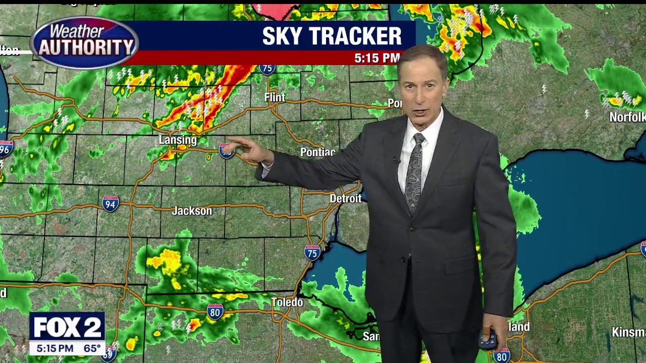
Severe storm chances lessen Tuesday night
Rich Luterman has the forecast.
Rich Luterman has the forecast.
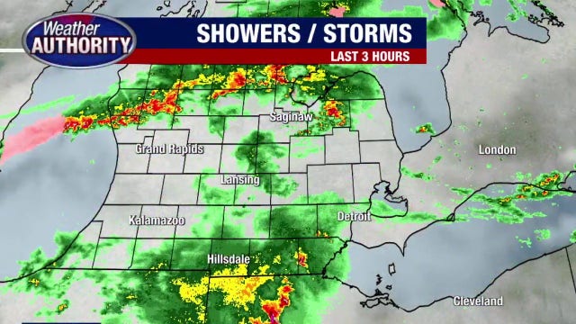

Severe storm chances remain, active weather crossing south of Metro Detroit
Active weather remains in the picture with some of the more active storms to the south of Metro Detroit.
Active weather remains in the picture with some of the more active storms to the south of Metro Detroit.
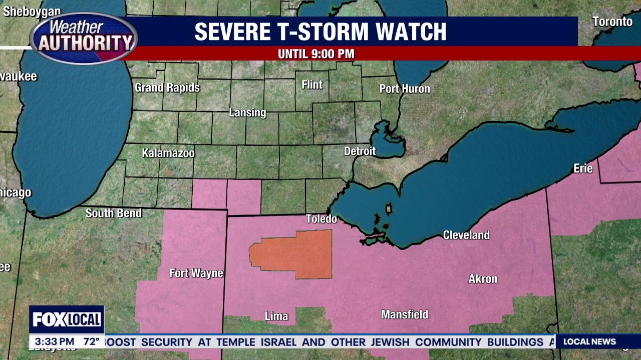
Severe storms to the south of Metro Detroit, chances for active weather remain
Rich Luterman breaks down our chances for severe weather Tuesday tonight.
Rich Luterman breaks down our chances for severe weather Tuesday tonight.
Storm chances this afternoon and evening
Storm chances ramp up this afternoon with two rounds of storms possible. Mid afternoon we could see a few strong storms with winds and hail. Second round will be later tonight between 7-10pm with all severe modes in play!
Storm chances ramp up this afternoon with two rounds of storms possible. Mid afternoon we could see a few strong storms with winds and hail. Second round will be later tonight between 7-10pm with all severe modes in play!
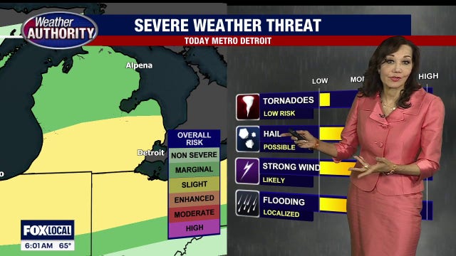

Metro Detroit severe storms: Strong winds and heavy rain likely, potential for hail and isolated tornado
Severe thunderstorms Tuesday in Metro Detroit will bring strong winds and heavy rain, with the potential for hail and an isolated tornado also on the table.
Severe thunderstorms Tuesday in Metro Detroit will bring strong winds and heavy rain, with the potential for hail and an isolated tornado also on the table.
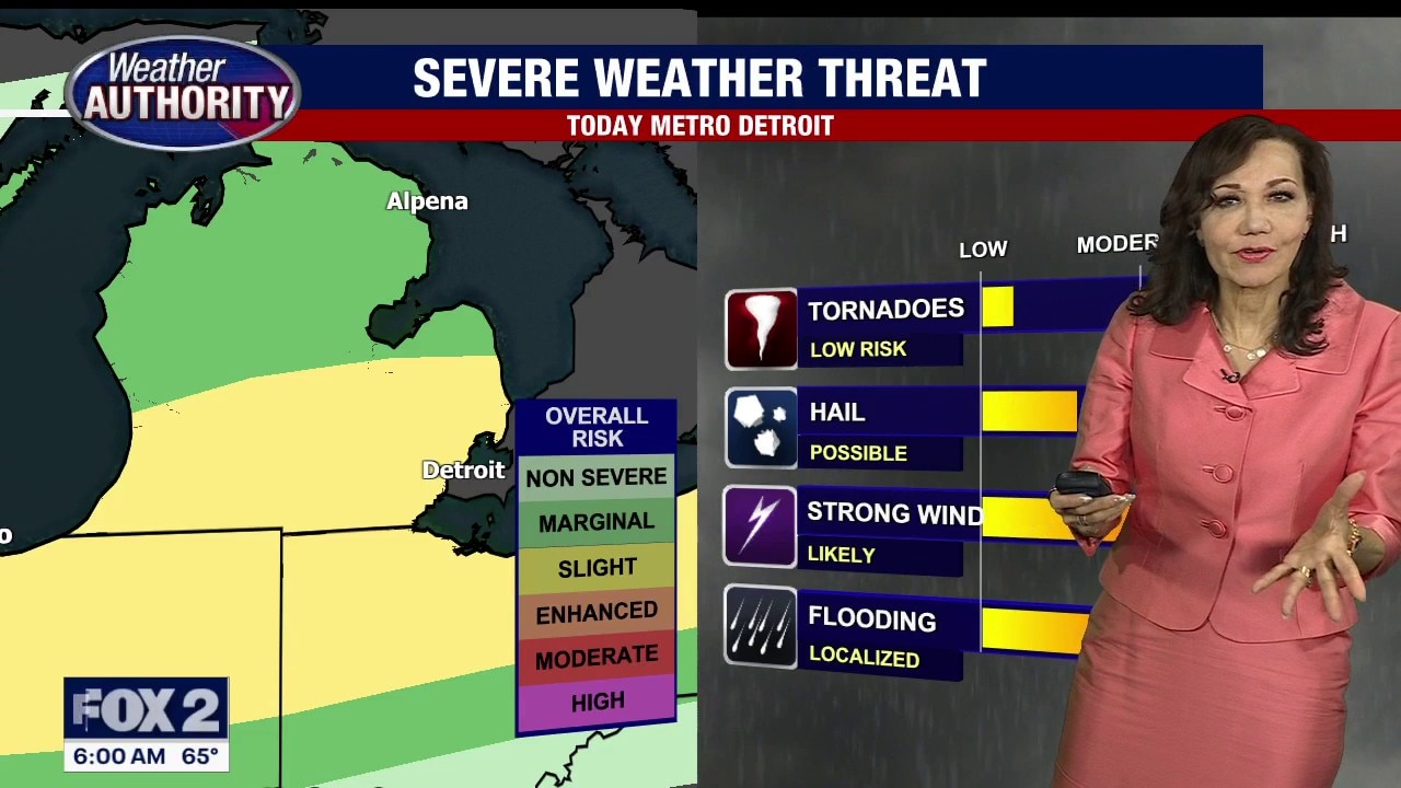
Metro Detroit severe weather outlook
Strong thunderstorms are possible Tuesday around Southeast Michigan, with strong winds likely, along with the chance for hail and flooding.
Strong thunderstorms are possible Tuesday around Southeast Michigan, with strong winds likely, along with the chance for hail and flooding.
Storm chance for Tuesday night
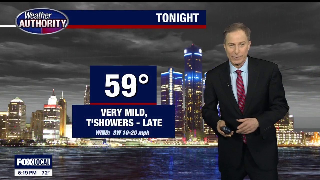
Rich Luterman has the forecast.
Rich Luterman has the forecast.
Storm chances tonight
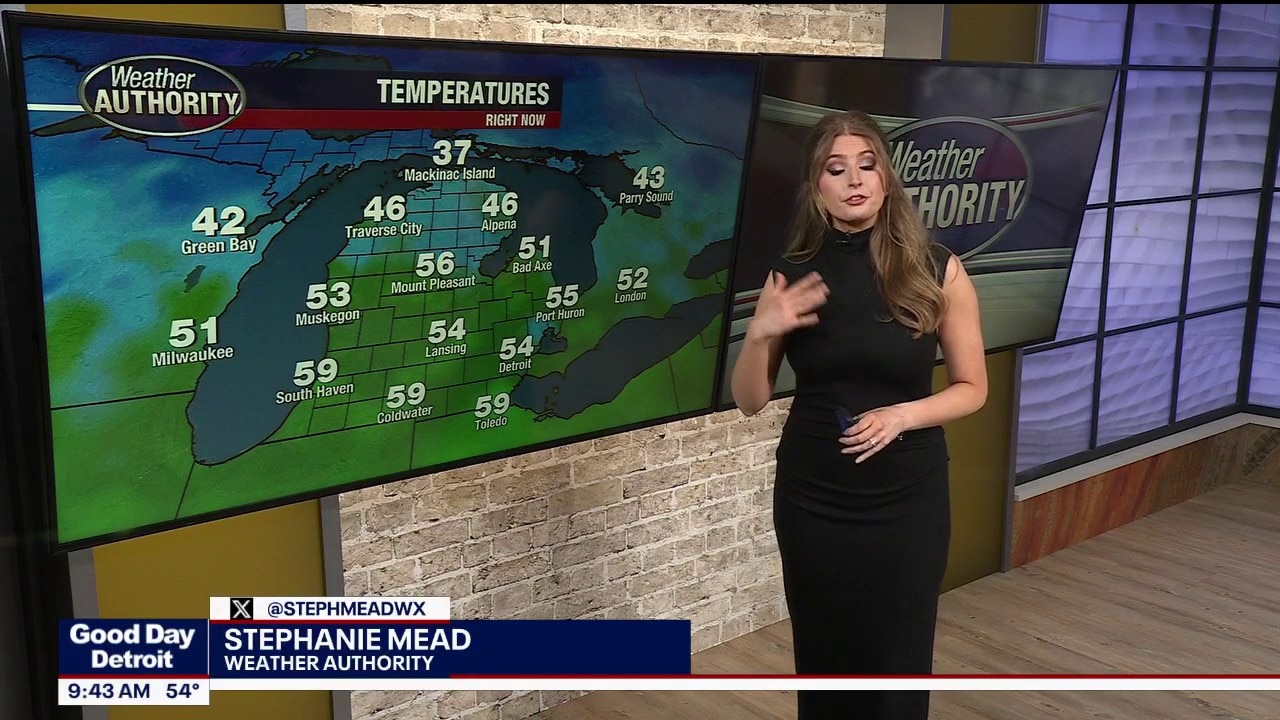
Warm day with highs in the upper 60s with storms developing tonight. More storm chances Tuesday evening with highs in the mid 70s! Cooler mid week then bouncing back to near 70° by Friday!
Warm day with highs in the upper 60s with storms developing tonight. More storm chances Tuesday evening with highs in the mid 70s! Cooler mid week then bouncing back to near 70° by Friday!
Milder with Rain Today
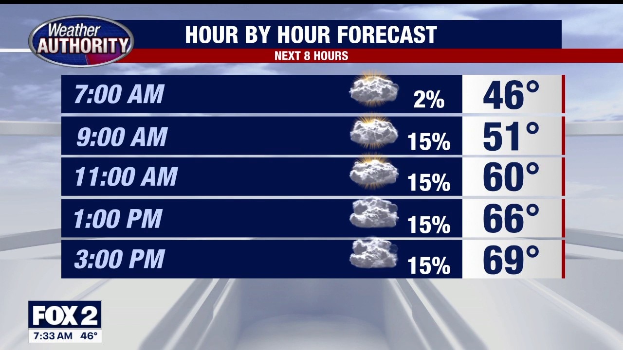
Temperatures in the 60s today with the threat of rain by evening. A strong cold front could trigger severe weather tomorrow. Meteorologist Lori Pinson has your forecast.
Temperatures in the 60s today with the threat of rain by evening. A strong cold front could trigger severe weather tomorrow. Meteorologist Lori Pinson has your forecast.


Metro Detroit weather: Mild start to the week ahead of chance for severe storms
It will be an active weather week in Southeast Michigan, with the chance for severe weather, including heavy rain and gusty winds, tomorrow.
It will be an active weather week in Southeast Michigan, with the chance for severe weather, including heavy rain and gusty winds, tomorrow.
Mild start to an active weather week
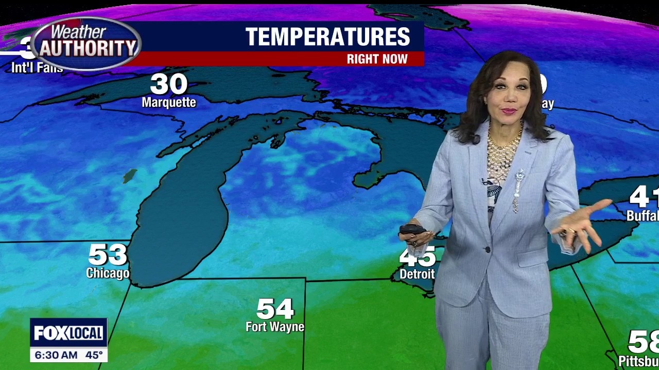
Monday starts with mild temperatures that will climb even higher tomorrow. With that comes the chance for severe thunderstorms around Southeast Michigan.
Monday starts with mild temperatures that will climb even higher tomorrow. With that comes the chance for severe thunderstorms around Southeast Michigan.
Mild weather most of the week as Tigers Opening Day looms
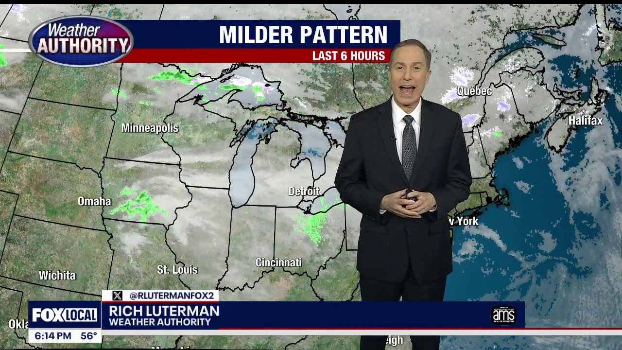
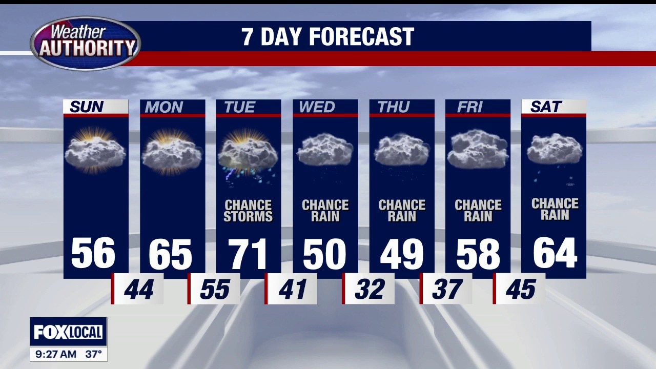
Expect quiet weather Sunday night into Monday. An unsettled pattern takes shape over the area Monday night into Thursday…. with occasional showers and even some storms – Tuesday. The Tigers home opener is Friday… there is a chance for a shower. Rest of Sunday evening / night…. Mostly cloudy…. not as cold… low 44 Monday: Mostly cloudy…. breezy and milder…. High 66 Tuesday: Occasional t-storms…. BREEZY….high 73 Wednesday: Cloudy and cooler… rain showers…. high near 50 Thursday: Cloudy…. more showers likely…. High 53 Friday (Tigers Home Opener): Mostly cloudy… shower chance….. high 59 Saturday: Cloudy with showers… high 64 Easter Sunday: Cloudy… shower chance… high 59
Expect quiet weather Sunday night into Monday. An unsettled pattern takes shape over the area Monday night into Thursday…. with occasional showers and even some storms – Tuesday. The Tigers home opener is Friday… there is a chance for a shower. Rest of Sunday evening / night…. Mostly cloudy…. not as cold… low 44 Monday: Mostly cloudy…. breezy and milder…. High 66 Tuesday: Occasional t-storms…. BREEZY….high 73 Wednesday: Cloudy and cooler… rain showers…. high near 50 Thursday: Cloudy…. more showers likely…. High 53 Friday (Tigers Home Opener): Mostly cloudy… shower chance….. high 59 Saturday: Cloudy with showers… high 64 Easter Sunday: Cloudy… shower chance… high 59
Milder, Breezy Sunday
Not as cold of a start today with a milder finish. Warmer Monday and Tuesday with rain this week. Meteorologist Lori Pinson has your forecast.
Not as cold of a start today with a milder finish. Warmer Monday and Tuesday with rain this week. Meteorologist Lori Pinson has your forecast.