Friday forecast in Southeast Michigan: Muggy start, heavy downpours possible

Muggy Friday start, highs to hit low 90s
Friday is our last day in the 90s, with a cool front arriving late Friday which brings the possibility of some severe weather.
DETROIT (FOX 2) - After a week of hot and muggy conditions – complete with severe weather on Wednesday – we have one last day of the heat and humidity on Friday before things finally cool off.
Friday starts pretty muggy – you may see a bit of fog still hanging around this morning – before temperatures climb to 92 by the time we get into the afternoon.
But all this mugginess and that hot weather will coincide with a cool front pushing in from the west. By 3 p.m., we see our precipitation chances start to climb as clouds increase and some severe weather is possible.
The bigger concern will be downpours, especially when the heat of the day settles in. The heavier rain will likely be in Oakland County around 2 or 3 p.m. and will linger around for a couple of hours.
Grosse Pointe, Redford and Southfield among communities cleaning up storm damage
The severe weather threat will be gusty winds and downpours – which has prompted a flood watch for all of Southeast Michigan from Macomb County down to Toledo and including Washtenaw and Livingston Counties.
If you're out in the mid-afternoon, watch out for ponding on the roads and, when you get home, be sure to keep a close eye on your basement.
There's also an air quality alert in place as we still are dealing with smog from Canadian wildfires.
The good news is that, once we get through Friday, we'll cool off on Saturday with highs in the low 80s and all next week looks dry and comfortable!

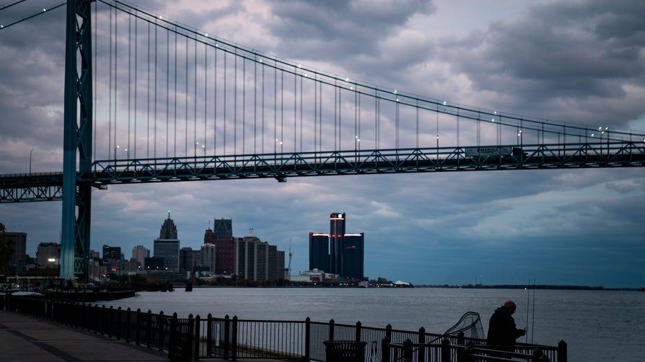
DETROIT, MI - OCTOBER 16: A man fishes with the Detroit city skyline and the Ambassador bridge as a backdrop, as seen from Riverside Park on Sunday, Oct. 16, 2022 in Detroit, MI. (Kent Nishimura / Los Angeles Times via Getty Images)

