

Wet Start to Weekend
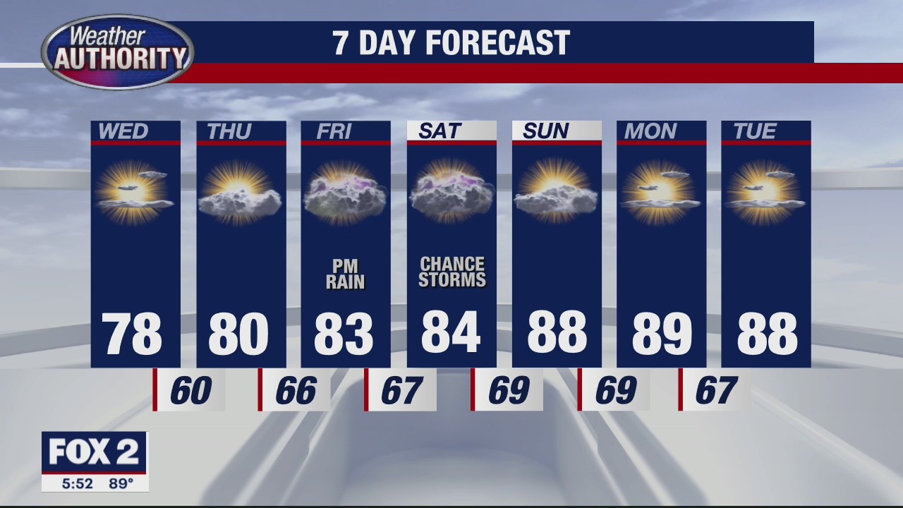
Grab your umbrellas if you are heading out and about today. We are tracking scattered rain and a few rumbles this morning. This afternoon, we should dry things out a bit so dinner plans look pretty good. More rain and storms are in the forecast on Saturday. A few storms that develop could be heavy and strong at times on Saturday especially during the evening. Expect highs in the mid and upper 70s today with 80s back by this weekend.
Grab your umbrellas if you are heading out and about today. We are tracking scattered rain and a few rumbles this morning. This afternoon, we should dry things out a bit so dinner plans look pretty good. More rain and storms are in the forecast on Saturday. A few storms that develop could be heavy and strong at times on Saturday especially during the evening. Expect highs in the mid and upper 70s today with 80s back by this weekend.

Metro Detroit weather: Rain, storms return this weekend
The Metro Detroit weather forecast for July 23 includes rain and storms.
The Metro Detroit weather forecast for July 23 includes rain and storms.

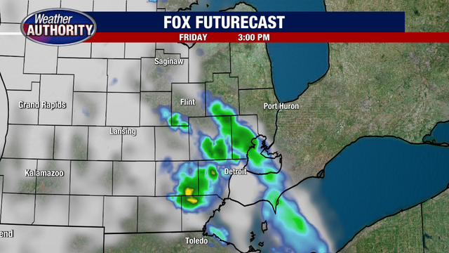
Friday forecast has rain back in the forecast!
Showers and storms are around today with an even stormier Saturday on tap.
Showers and storms are around today with an even stormier Saturday on tap.

Storm chances pick up next couple days
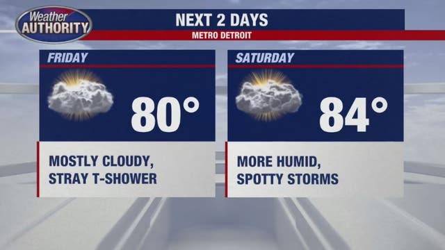
Our weather turns a bit more active Friday and Saturday as a slow-moving warm front approaches the region from the west.
Our weather turns a bit more active Friday and Saturday as a slow-moving warm front approaches the region from the west.

A gradual warm up is coming
Rich Luterman has the forecast.
Rich Luterman has the forecast.

Another round of dry, sunny conditions Thursday, isolated storms possible Friday
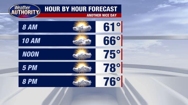
Another round of pleasant summer conditions is on the way. Thursday will look like Wednesday in many respects.
Another round of pleasant summer conditions is on the way. Thursday will look like Wednesday in many respects.

Let's do it again! More clouds today, but low humidity will continue.
Showers and storms return tomorrow.
Showers and storms return tomorrow.

Comfortable Thursday on the way
Rich Luterman has the forecast.
Rich Luterman has the forecast.

Pleasant and mild for Thursday
Rich Luterman has the forecast.
Rich Luterman has the forecast.
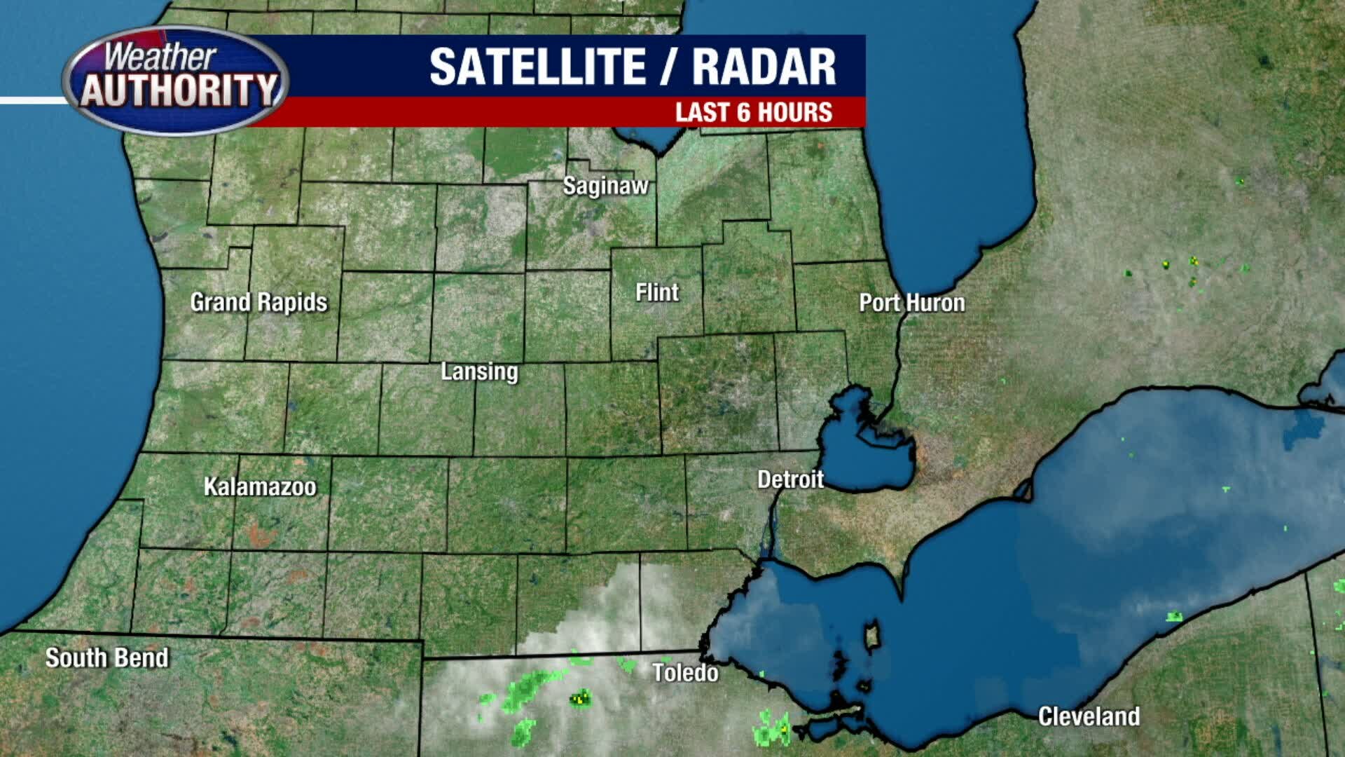
A dry couple of days ahead
Storms return as we head into the weekend.
Storms return as we head into the weekend.
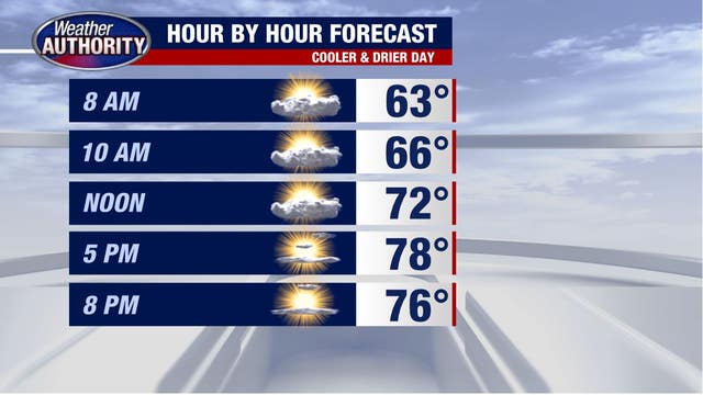

Midweek cool-down arrives but storms are likely this weekend
The midweek cooldown is here. Expect temperatures under 80, partly sunny skies, and lower humidity levels.
The midweek cooldown is here. Expect temperatures under 80, partly sunny skies, and lower humidity levels.

Our midweek cool down is here!
You can expect a big drop in temps and humidity and kiss the rain goodbye for a couple days!
You can expect a big drop in temps and humidity and kiss the rain goodbye for a couple days!

All Clear, No Severe
As the cold front moves south and we lose the instability, severe weather ends. So, what's next? Meteorologist Lori Pinson has your forecast
As the cold front moves south and we lose the instability, severe weather ends. So, what's next? Meteorologist Lori Pinson has your forecast
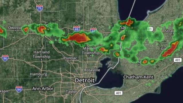

Severe Thunderstorm Warnings for multiple counties in SE Michigan
The storm includes 60 mph wind gusts and quarter-size hail. Hail damage to vehicles is possible and be ready for chances of wind damage to roofs, siding, and trees.
The storm includes 60 mph wind gusts and quarter-size hail. Hail damage to vehicles is possible and be ready for chances of wind damage to roofs, siding, and trees.
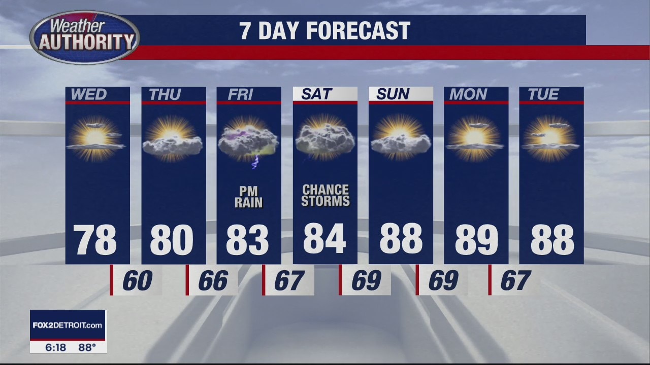
Severe Weather North
Severe Thunderstorm Warning until 7pm for Oakland, Macomb and St. Clair counties. Meteorologist Lori Pinson has your forecast
Severe Thunderstorm Warning until 7pm for Oakland, Macomb and St. Clair counties. Meteorologist Lori Pinson has your forecast
Storms to our North
A cold front dropping south is triggering severe storms to our north. Meteorologist Lori Pinson has your forecast
A cold front dropping south is triggering severe storms to our north. Meteorologist Lori Pinson has your forecast
A few t'storms expected today
Then a couple dry days ahead.
Then a couple dry days ahead.
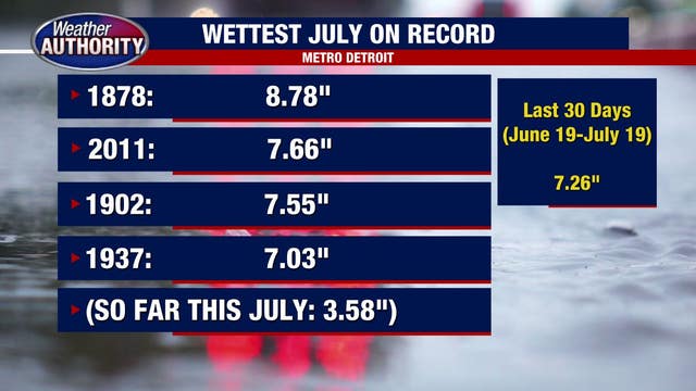

The last 30 days got more than 7 inches of rain - where that ranks next to Michigan's rainiest Julys
Just where does the past month of rain totals rank compared to Michigan's wettest Julys? It's not first - but it's not far off either.
Just where does the past month of rain totals rank compared to Michigan's wettest Julys? It's not first - but it's not far off either.

Temperatures to reach mid-80s ahead of evening showers Tuesday
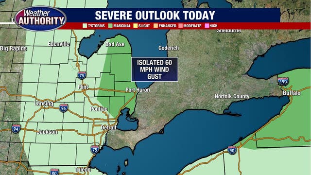
An approaching cold front will rid the smokey veil in the skies and bring marginal storms to the northern part of Southeast Michigan Tuesday.
An approaching cold front will rid the smokey veil in the skies and bring marginal storms to the northern part of Southeast Michigan Tuesday.

Tuesday storms roll back into the forecast
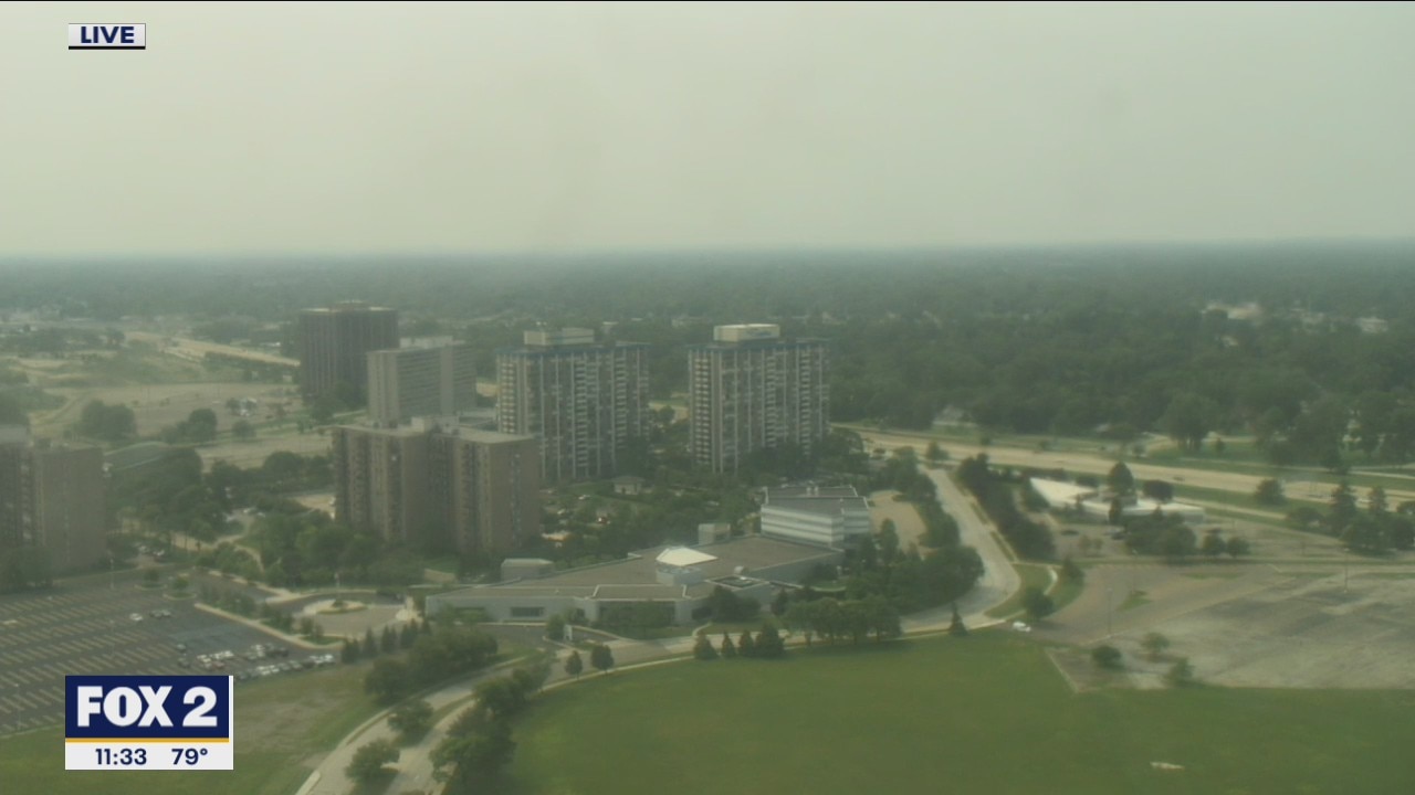
But not until late in the day! We'll clear our smoke away tomorrow.
But not until late in the day! We'll clear our smoke away tomorrow.